|
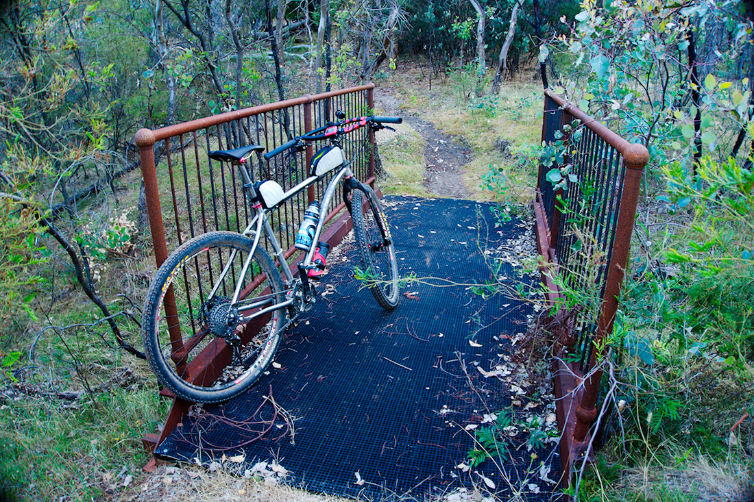
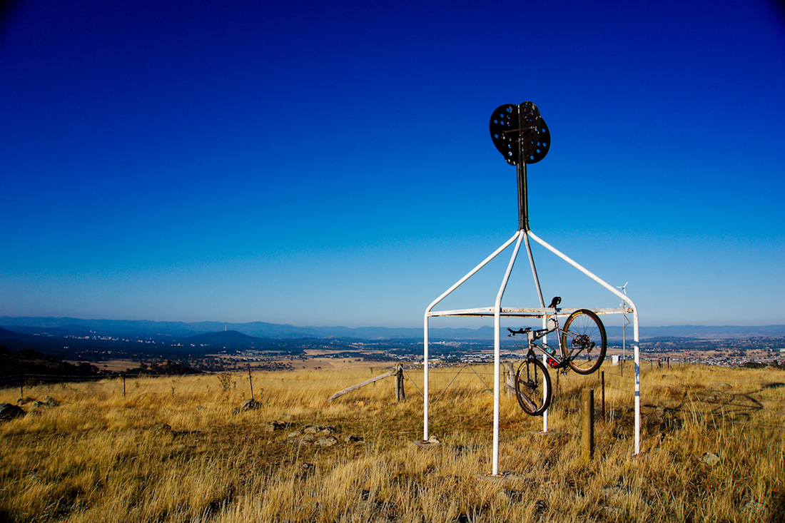
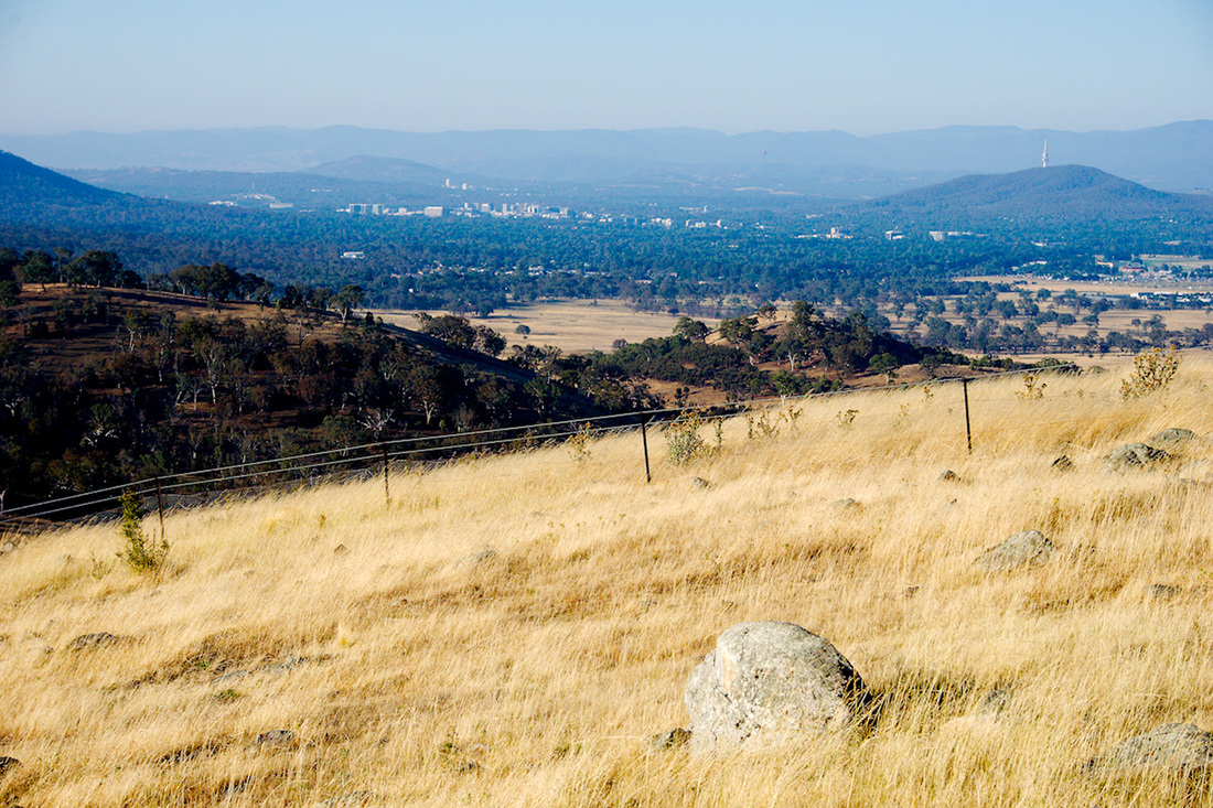
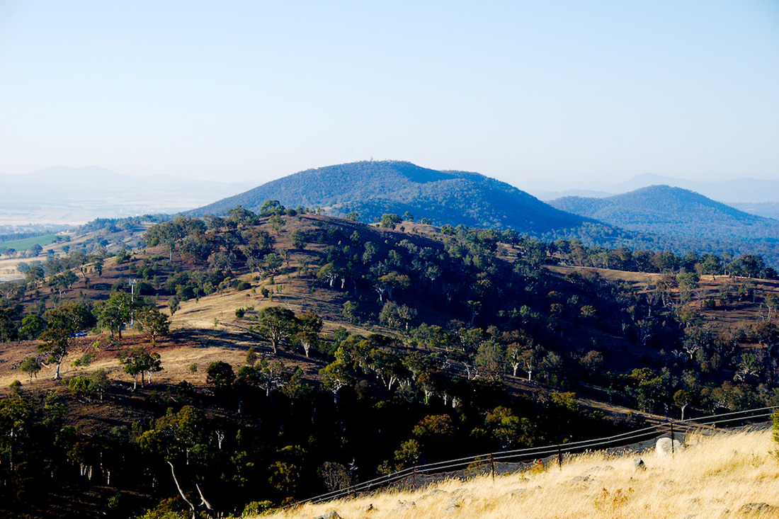
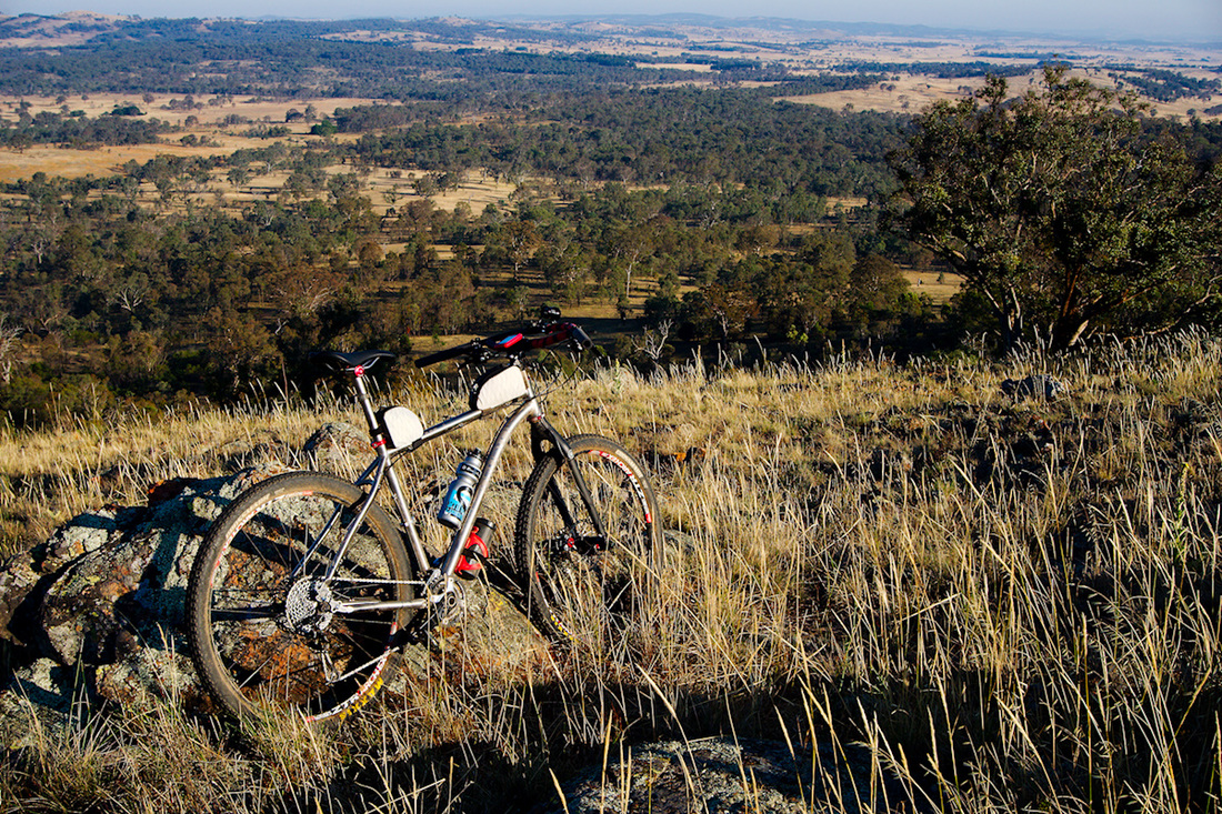
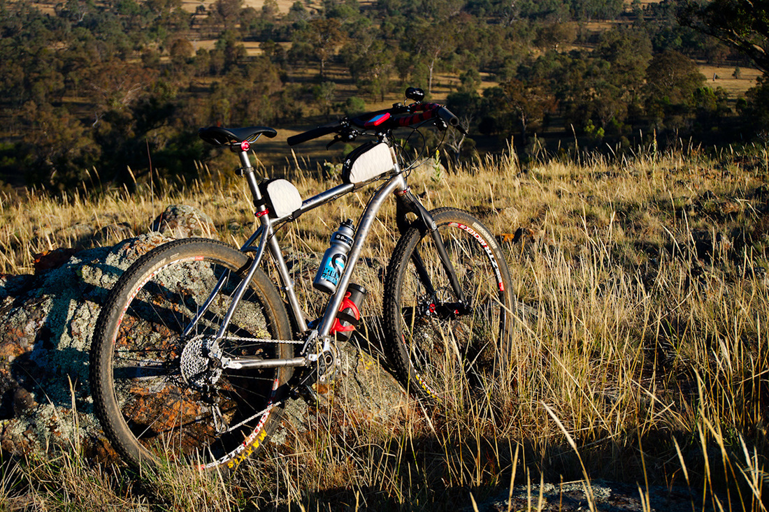
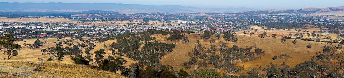
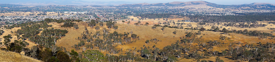
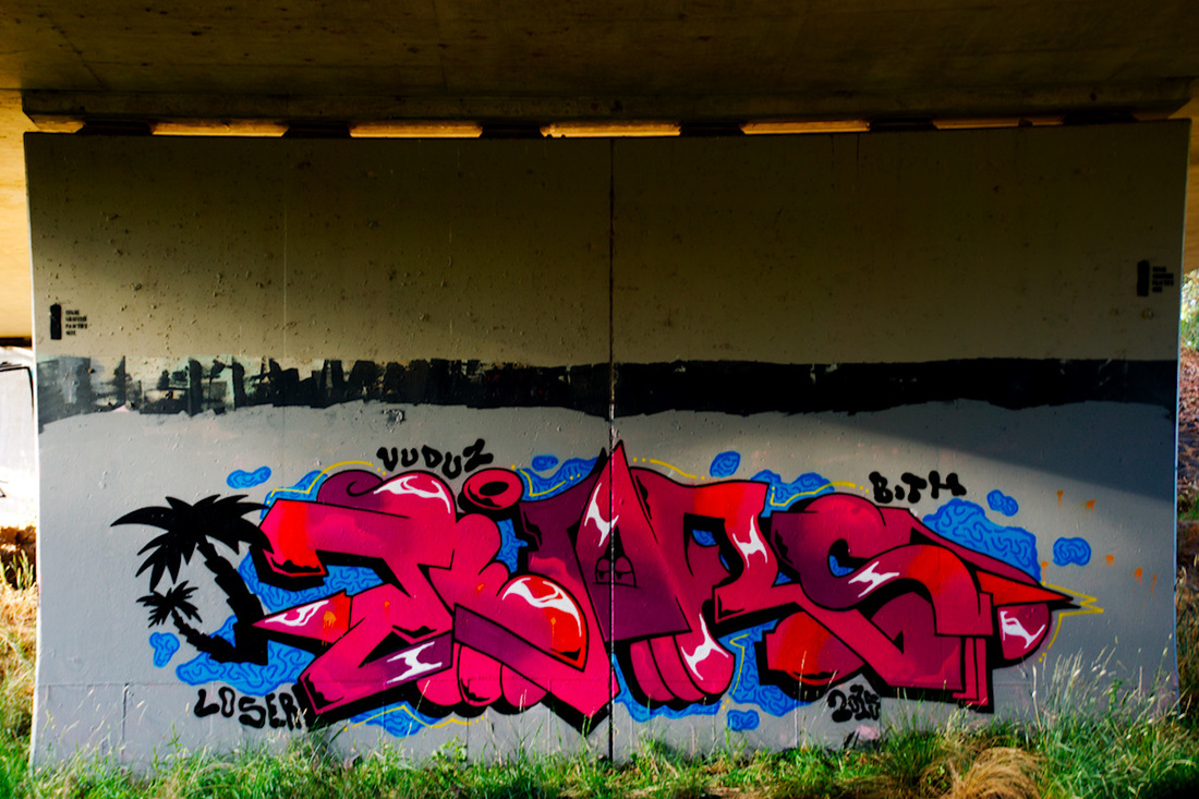
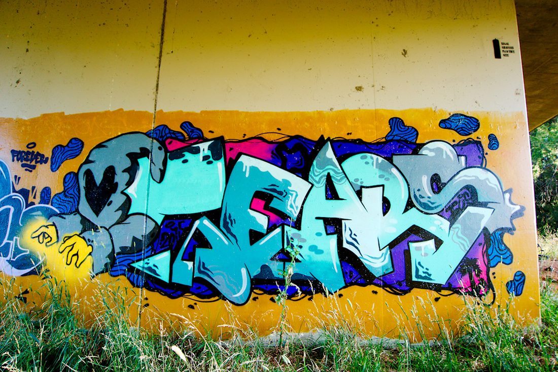
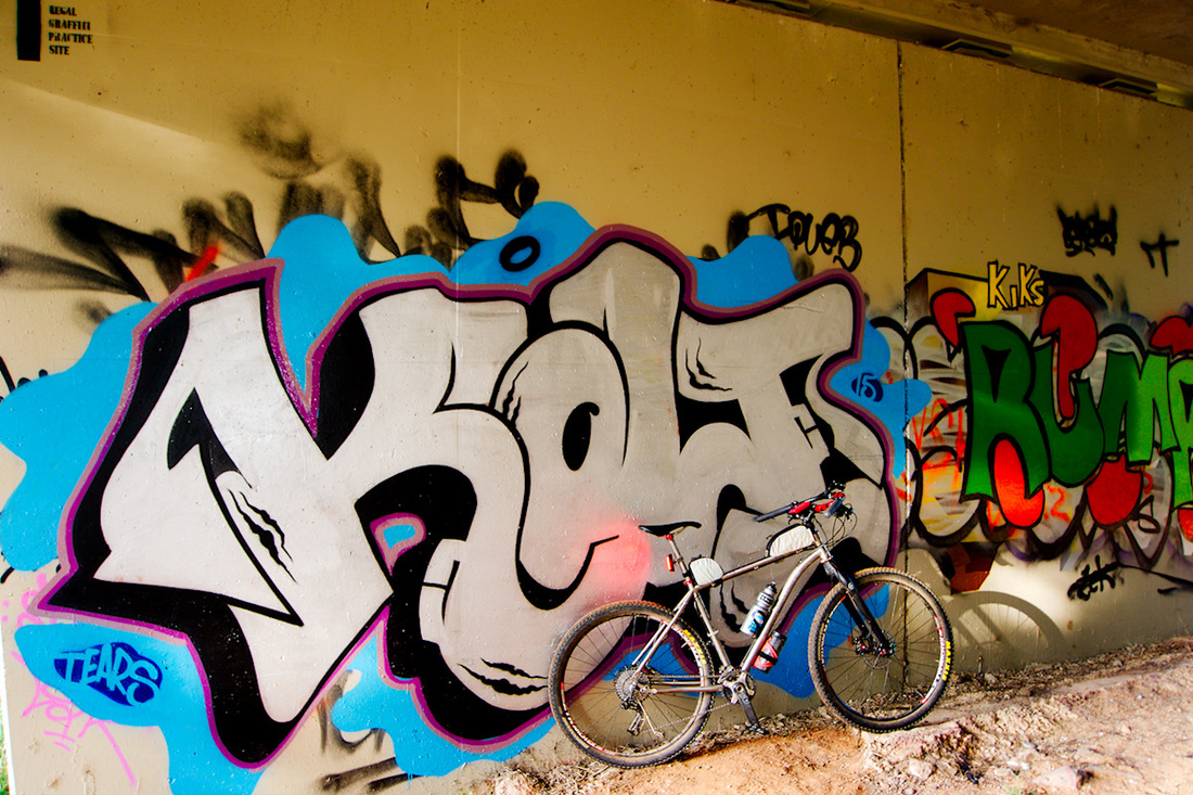
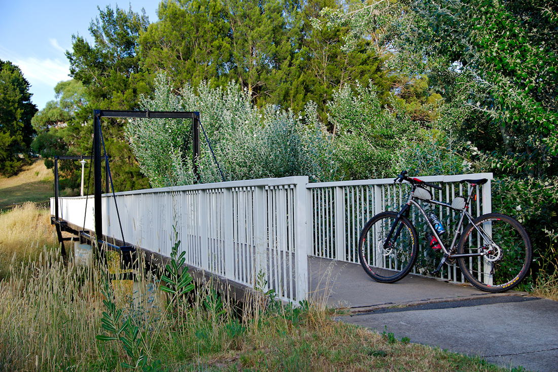
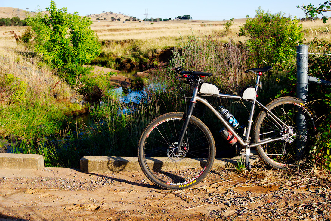
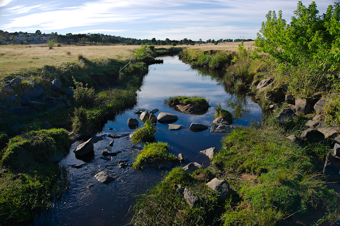
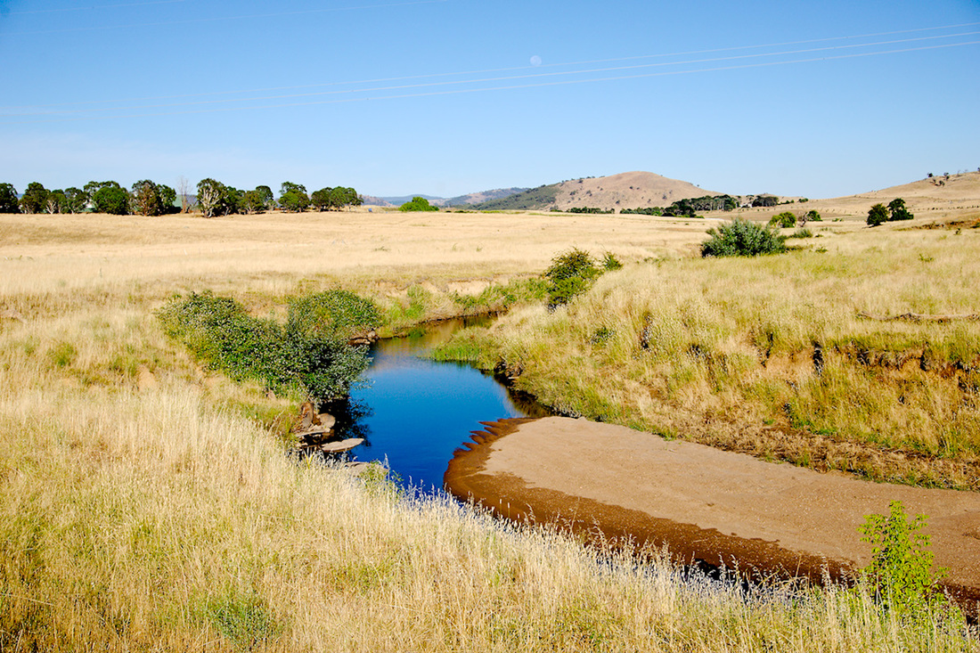
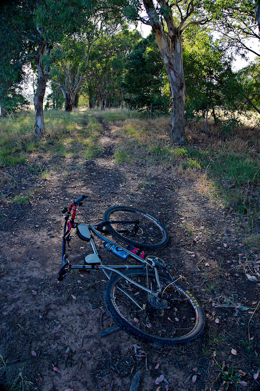
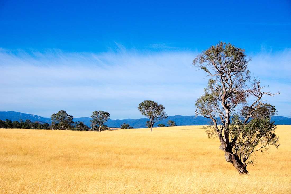
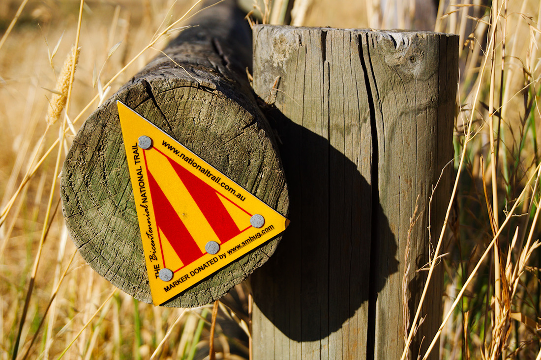
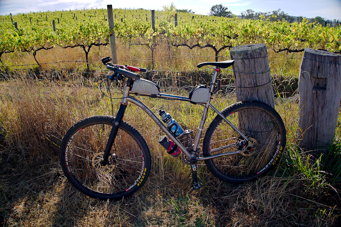
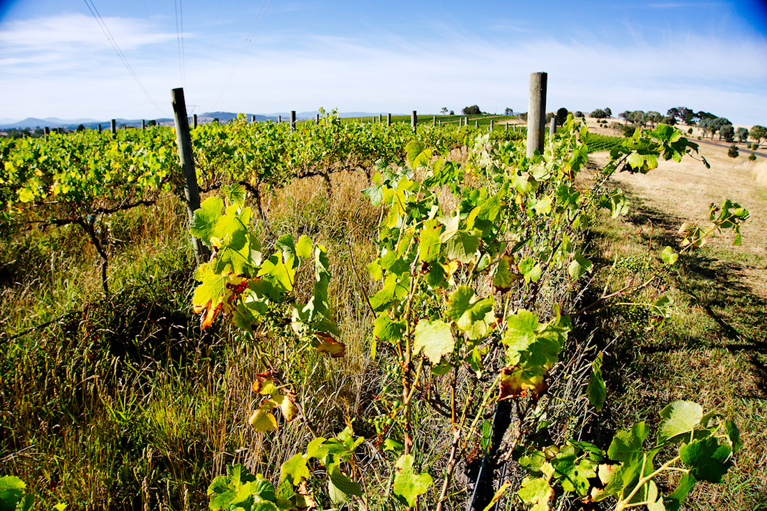
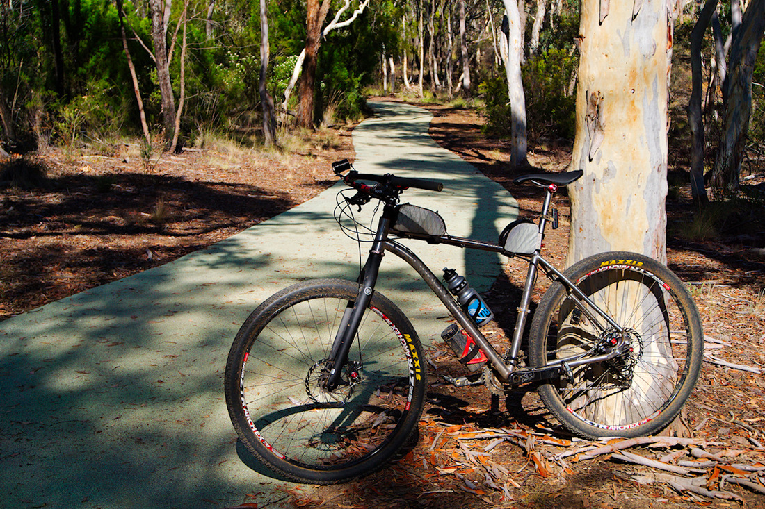
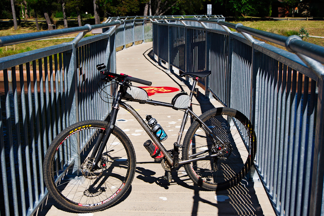
Went for a family trip up to Geraldton. As part of this trip, we stayed at Sandy Cape, Greenough and visited the Pinnacles and Coalseam National Park. Here is a couple of photos from this trip. The photos taken from my big camera can be found here. I have bought a new bike. The reason for the new bike is because I am living near the coast and I work on an island, so this was more than enough excuse to buy a fat bike to ride the beaches around the area. I will do a full build and ride report soon. But in the mean time here are a couple of photos to whet your appetite. 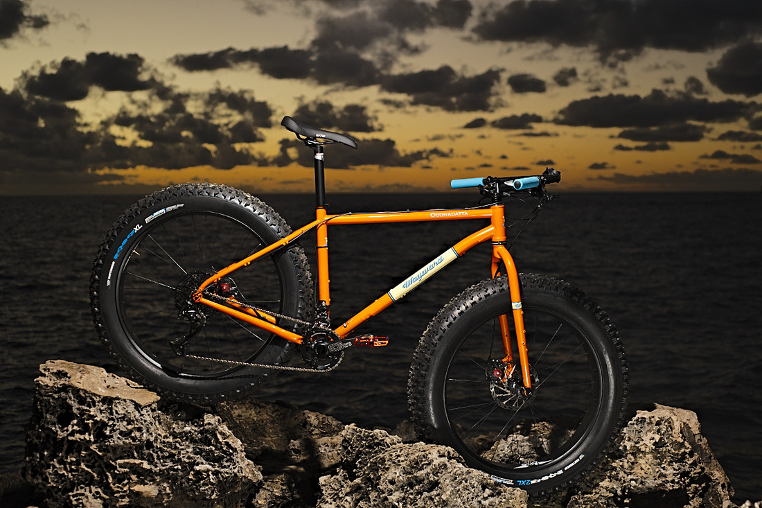 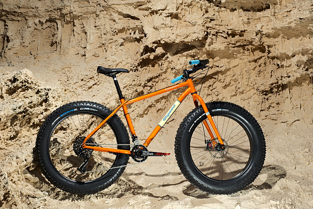 For those that don't know, I have moved to Western Australia. The picture below is a pretty good example of what my morning ride to work is like, most days.  Sunrise from the causeway. Old Joe Hill has been on my bucket list of peaks to bag, since the first time that I rode in Goorooyarroo Nature Reserve. Today I finally bagged it. This hill is probably the highlight of Goorooyarroo Nature Reserve due to it being the highest feature in the reserve (813m), whereby allowing you have the best views over the ACT and NSW, due to the trail running along the border. The ascent is via dual vehicle wheel ruts and is not utilised very often, so is fairly rough. The trail climbs steadily from the turn-off from the Centenary trail and flattens out once it reaches the saddle Gooroo hill and Old Joe hill. Once you reach the saddle you traverse over to Old Joe and then the real climbing starts. It is fairly sustained climbing all the way up, with only one area that I can think of that gave you a small reprieve. In the last 100m, is where the pinch was and I must admit I walked this stretch of 20m. I could've done it, but just gave in. I had to get a photo at the trig point as proof of making it to the top and then enjoyed the awesome views (albeit smoke reduced distances) and admired how steep the hill fell away Northwest. The descent was a bone chattering experience on the fully rigid tourer, but I made it down safely and relatively quickly. Then I backtracked some more to explore another track that I hadn't ridden before. This turn-off took me around Sammy's hill and down to Horsepark Drive. There was a nice little open forest of Eucalypts, which you pass on the descent. Soon, I was back onto Horsepark Drive and making my way to Old Well Station Road (known as Well Station Track). This dirt road takes you from Harrison to the Canberra showground. It them was a short ride back up a trail behind Watson and onto home, for a 27Km round trip. Yep, it is official. This morning I did the last leg of my challenge to circumnavigate the Suburbs of ACT. I had a reasonable ride. Nothing too fast, as I was feeling my legs from two days ago. I saw some weird and wonderful wildlife spotted, including; Mangy Fox (Which I disturbed from its sleep), a totally black Rabbit and the obligatory Kangaroos. I nearly ran over the Fox, which had built a nest for itself, so it could hide and rest. Not sure if it was malting or dying, but felt sorry for it. Low light of the trip was the cut in my tyre, which happen at, of all places Stromlo Forest Park Grrr. But wait I run tubeless, so why is it going down? Stopped at the start of Brittle gums and pumped it up and could hear the hissing. Dang, no Stans left in tyre. Well I could pull the tyre and insert a tube, but that is just silly. I know, pull the valve and pour in some more Stans! Did the trick, so pumped it up and off I went again. On the final bit of bike track back to the car, I came across a cyclist named Nick. He was riding from Melbourne back to his home on the Central coast, via the Bicentennial National Trail. He was looking for some shops and a bike shop, so I pointed him to Lonsdale Street. Unfortunately I also pointed him to the wrong tunnel (Wrong in the sense, that I recommended that he ride on the South side of the lake). Oh well he gets the North side view, but still makes it to the same place. View large map of the full circumnavigation. Use the magnifying glass to zoom in. 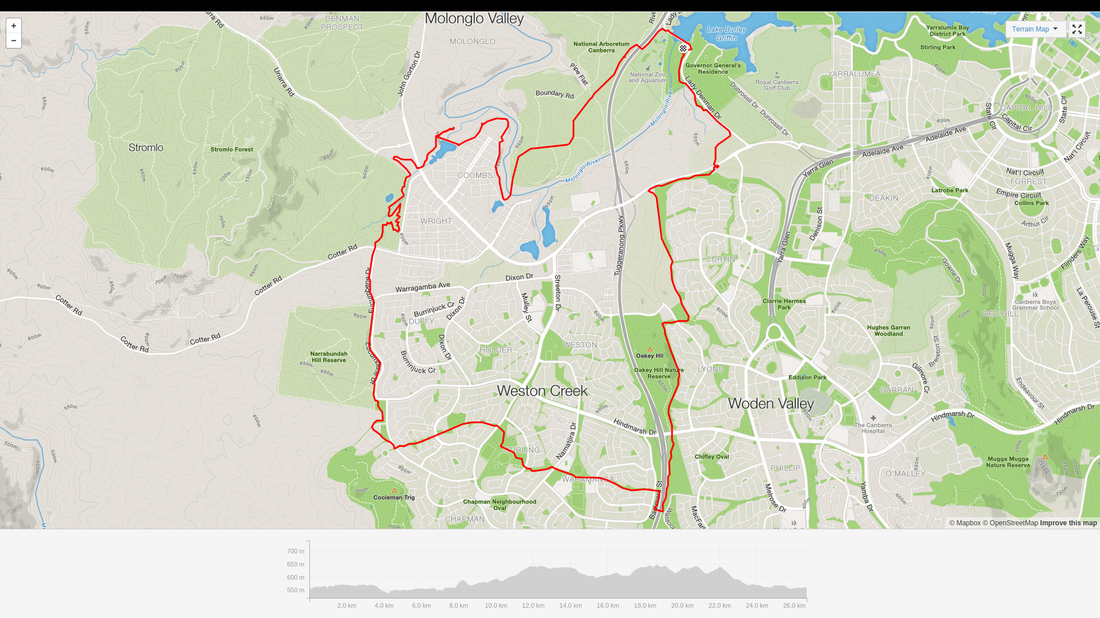 Last part of my circumnavigation of the ACT. The other day I spoke about only having two gaps to complete the circumnavigation of the suburbs in the ACT. Today, I closed off one of those gaps. I drew a route on Trackprofiler and uploaded it to my GPS, so I could ensure that I did not get lost. I made a couple little alterations whilst riding, but generally the route I made, was the route I followed. Up until Latham, the majority of the ride was road (Blech!) and the same with the route back from Higgins. But the bit in between was something special! When I left the road for bike paths and trails at Latham, I was amazed to find out how nice it is along the Ginninderra Creek. I would have to say one of the better cycling experiences in the ACT. I followed the creek to the Bicentennial National Trail (BNT), where it was dirt horse trails and beautiful vistas. Seriously if you get a chance to explore this bit of the BNT, then I think that you will be impressed. It is where the suburbs meet the country and the views are for miles. I enjoyed this trail that much that I think I will do it again (albeit truncated and slightly modified), as my fair well ride! 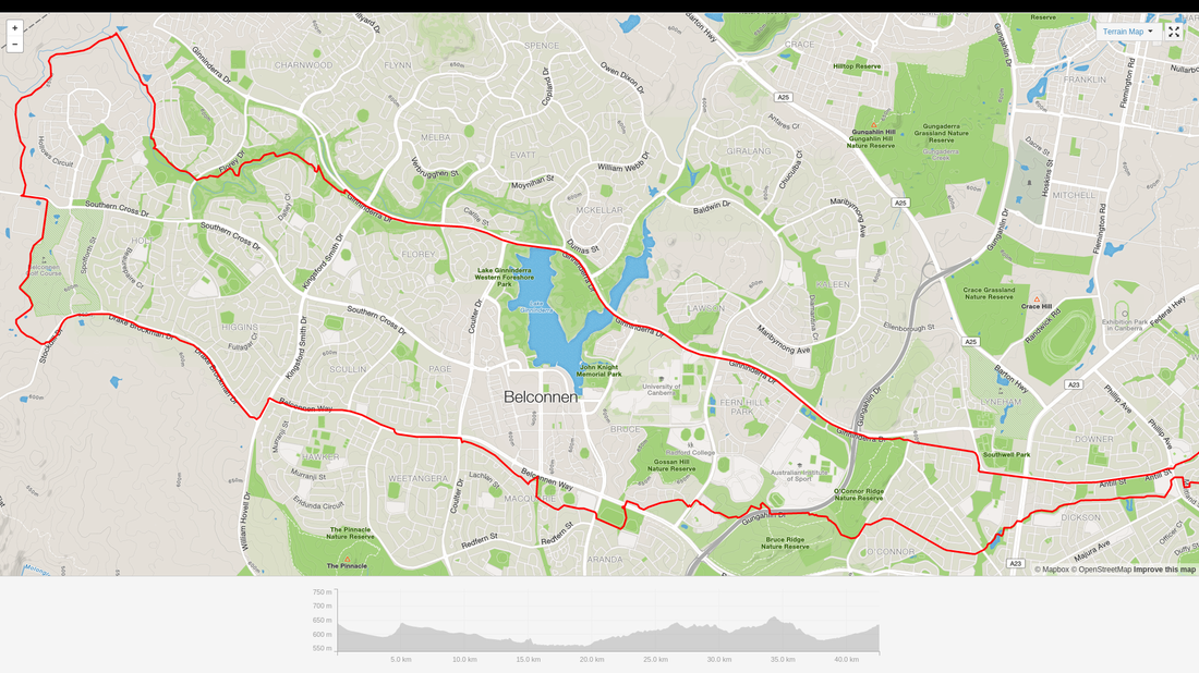 The route that I rode. One of the things that I had always wondered, was if I had circumnavigated all of the suburbs of the ACT (Not including the Jervis Bay areas pedants!). So today, I did a search for some means of combining all my GPS traced rides since moving to the ACT, onto one map. What you see below is the result. A bit of Googling came up with Jonathan O'Keefe's blog on his "Strava Multiple Ride Mapping Tool". I entered my dates of living in Canberra (31 Dec 201 ~ 27 Dec 2015) and this is a zoomed in version to show the traces overlaid on a map of the suburbs of the ACT. A close look, shows only 2 areas missed in the pursuit of completely circumnavigating the suburbs. They are; Dunlop to Higgins, passing Magregor and Holt and North Weston to Rivett, passing Wright, Coombes and Duffy. I will endeavour to knock these off the list before I leave the ACT. Hopefully in the next couple of weeks. A larger image can be found here. Use the magnifying glass to look closer.  Canberra suburb ride map Below is a map of the greater ACT and surrounding areas that I have ridden, since moving here. Missing from the map is the ride in Budawangs National Park and any that had not been GPS traced. A larger image can be found here. Use the magnifying glass to look closer.  Greater ACT ride map |
AuthorMy name is Mark McIntosh, but everyone calls me Macr. Archives
March 2019
Categories |


 RSS Feed
Proudly powered by Weebly