|
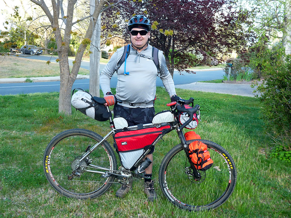
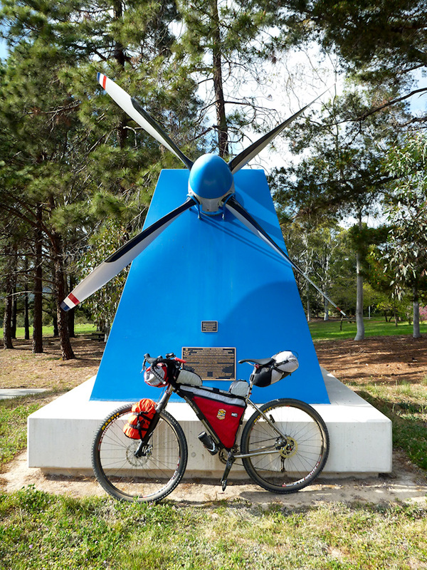
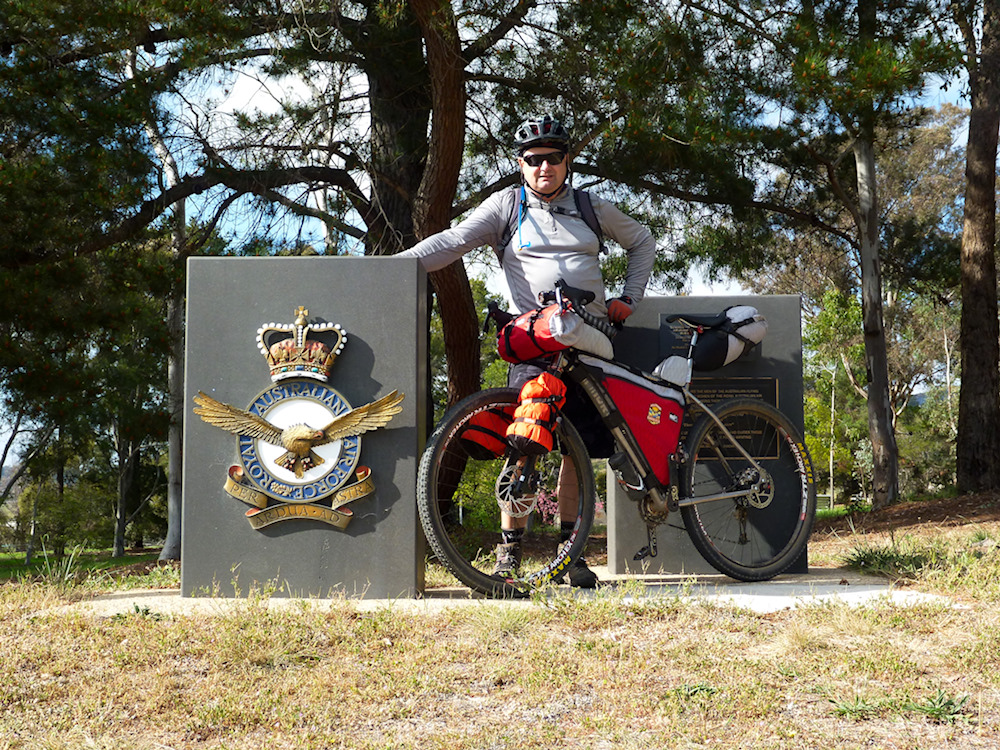
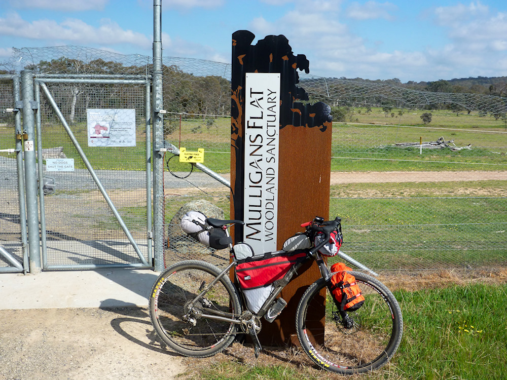
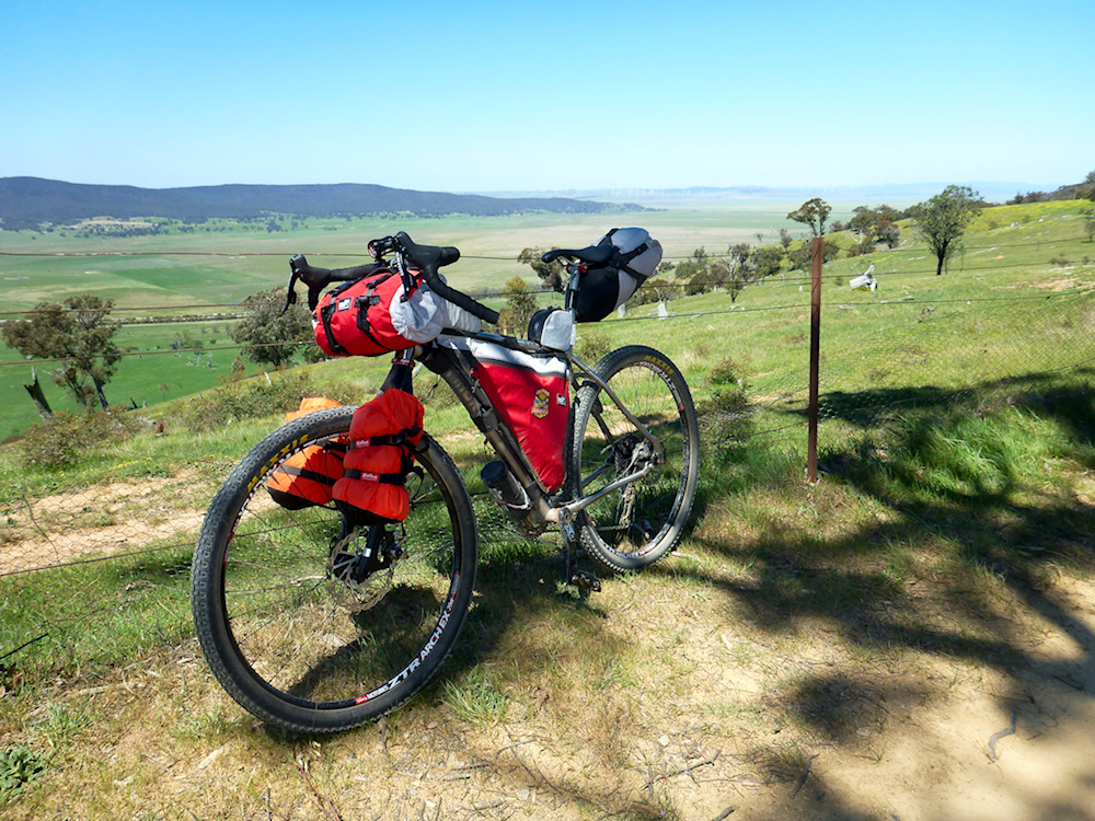
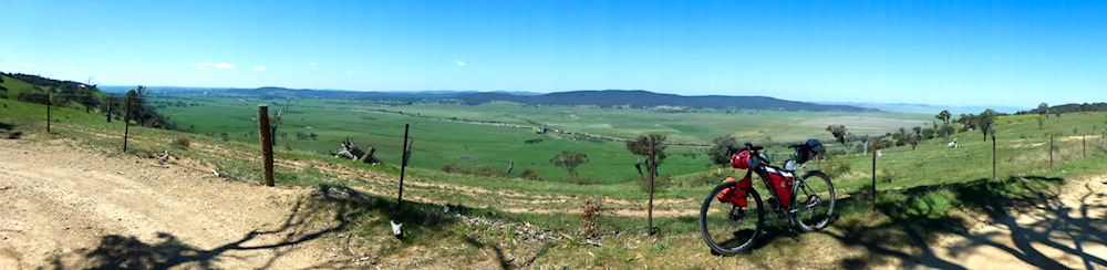
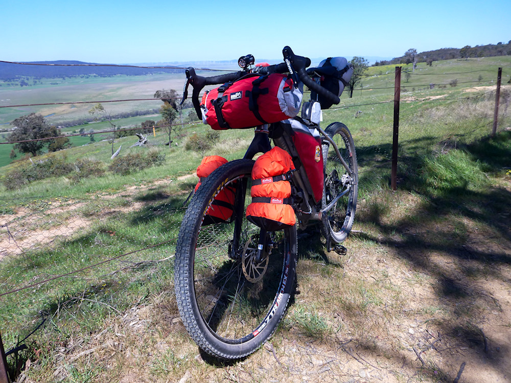
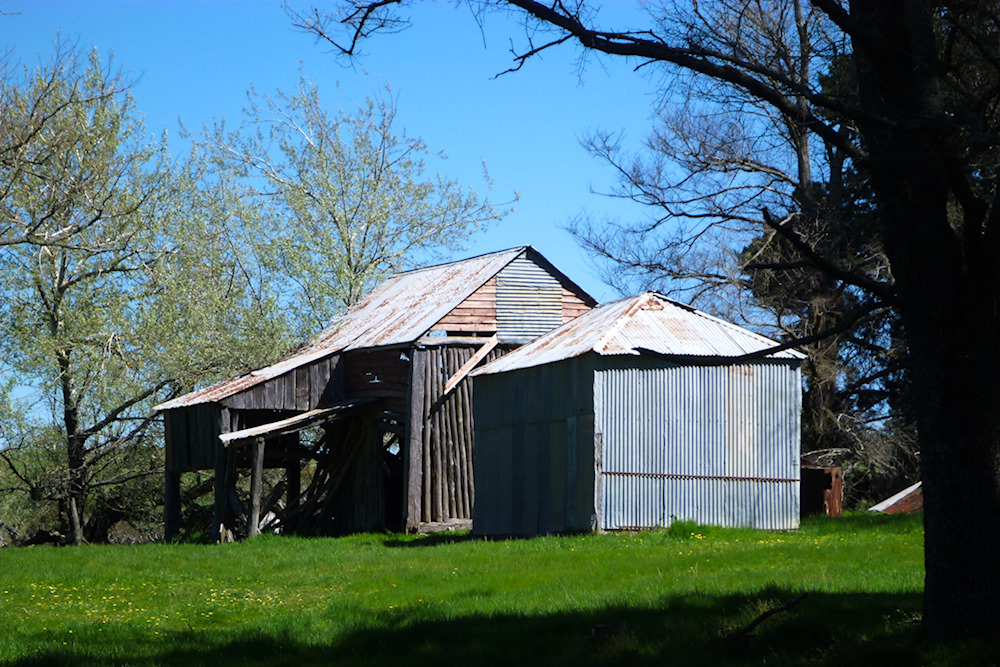
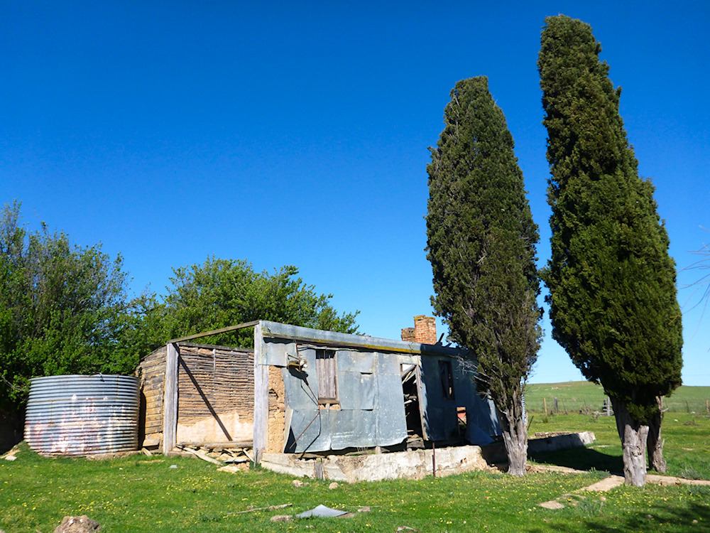
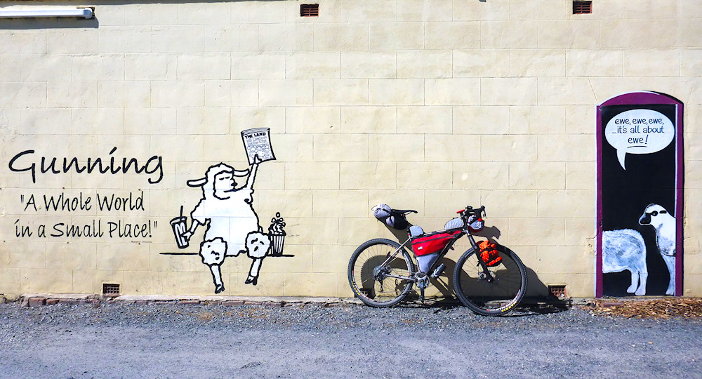
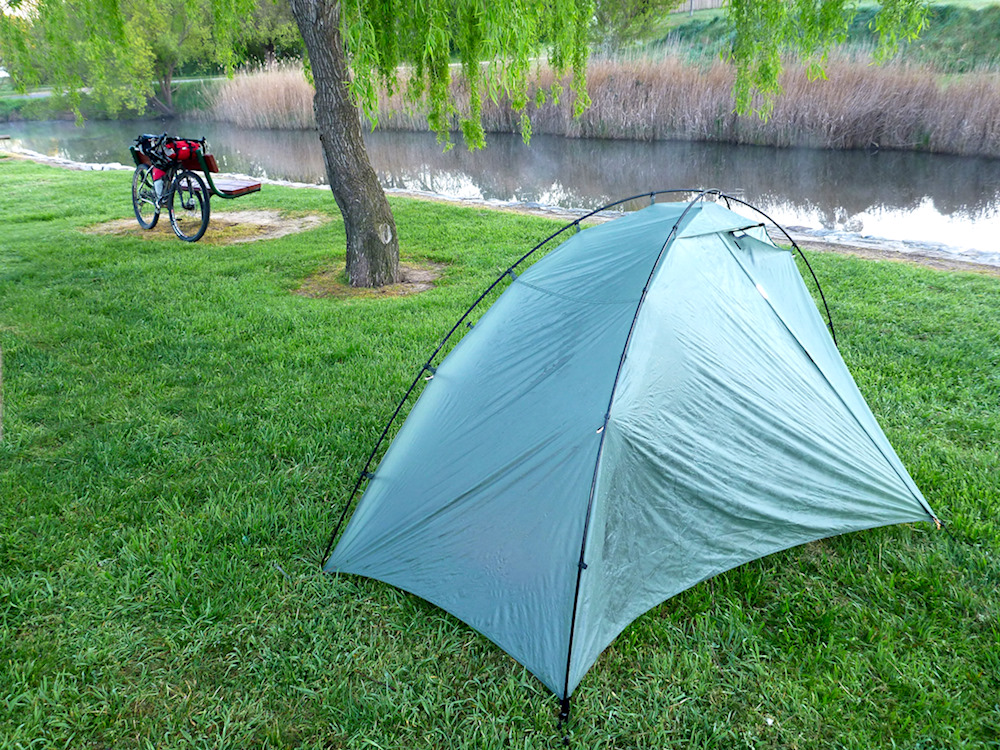
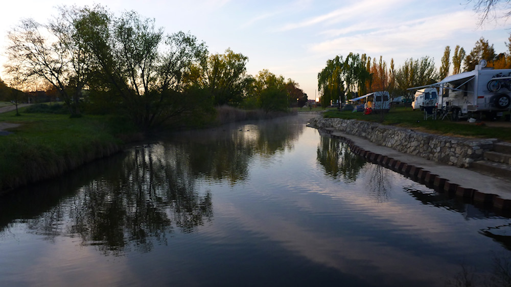
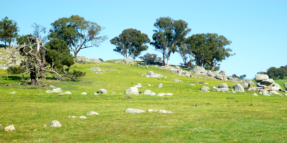
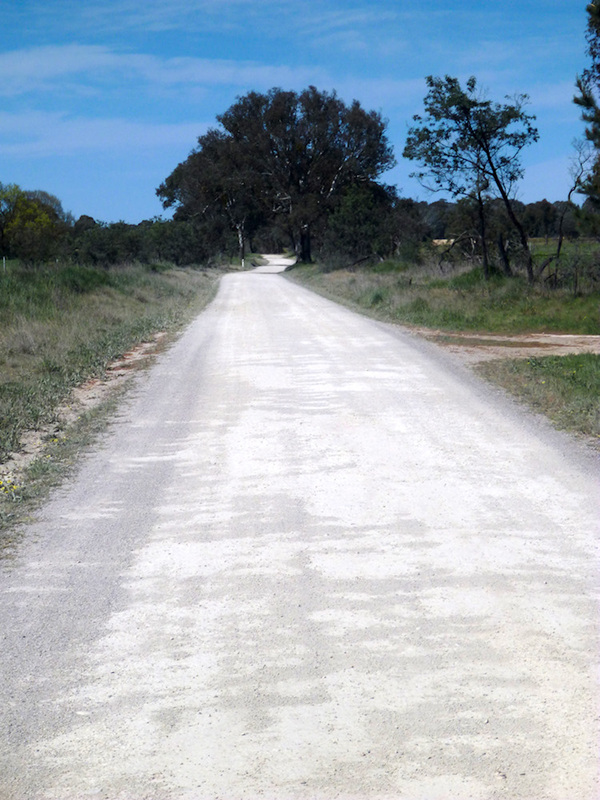
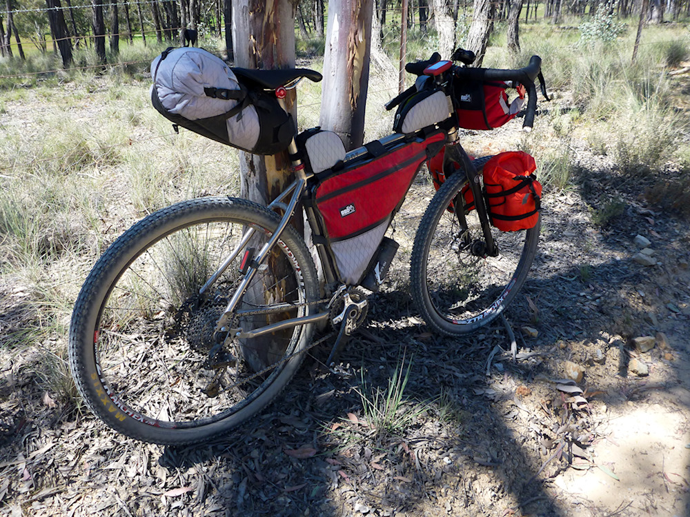
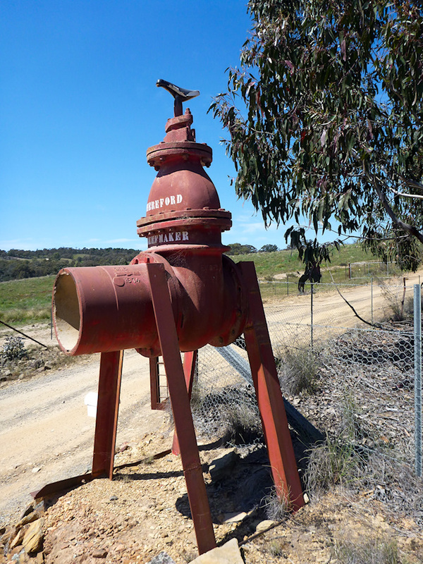
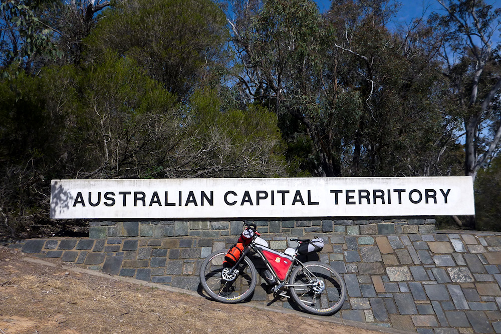
I had planned for a long time to do a ride to the coast with a bunch of mates, but as the day drew near everyone backed out for one reason or another. So this left me with a quandary as to what I should do. In the end, I decided that I was not going to waste the long weekend that I had put aside for the ride and decided to head up to Gunning via as much dirt as possible. The basic gist of the ride was: Centenary trail Mulligans Flat road Marked Tree road Collector Gunning road (Part of the Bicentennial National Trail) And back was : Gundaroo road Ladevale road Elms road Yass River road Dicks Creek road Nanima road Barton highway All up it was approximately 180kms over 2 days and 2200m climbed.
2 Comments
|
AuthorMy name is Mark McIntosh, but everyone calls me Macr. Archives
March 2019
Categories |


 RSS Feed
Proudly powered by Weebly