|
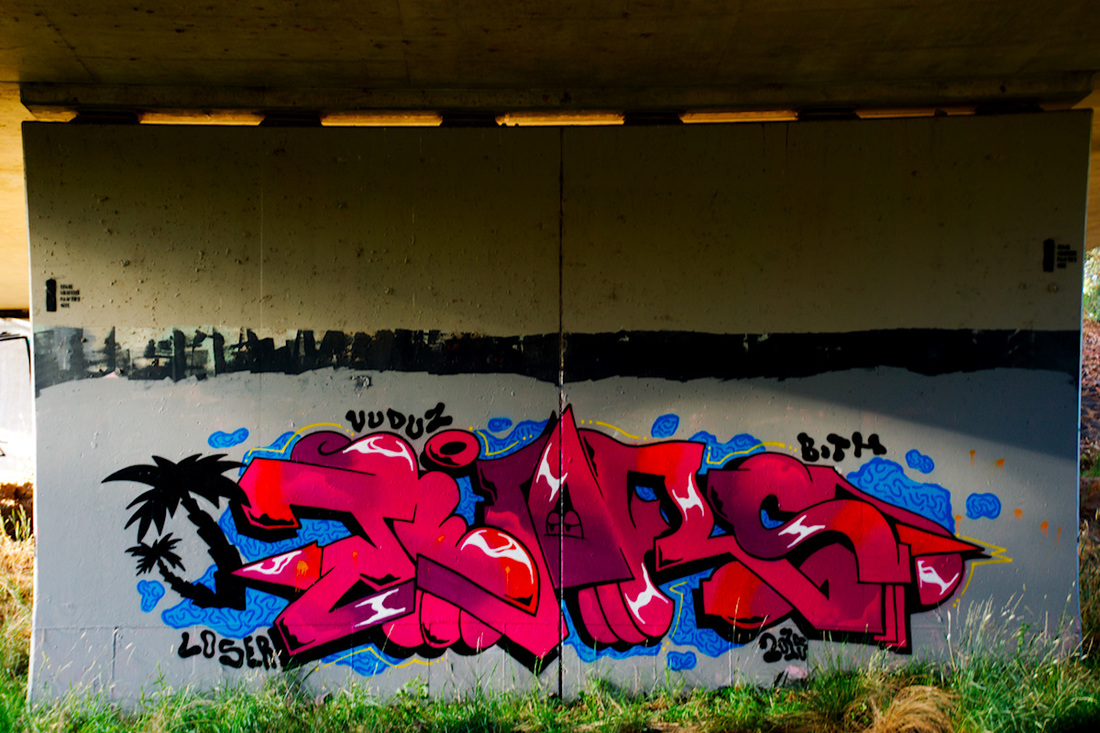
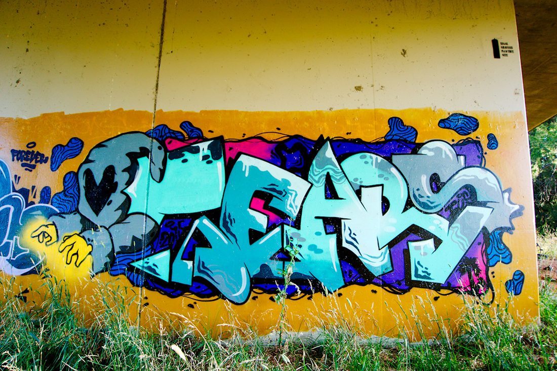
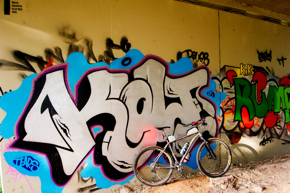
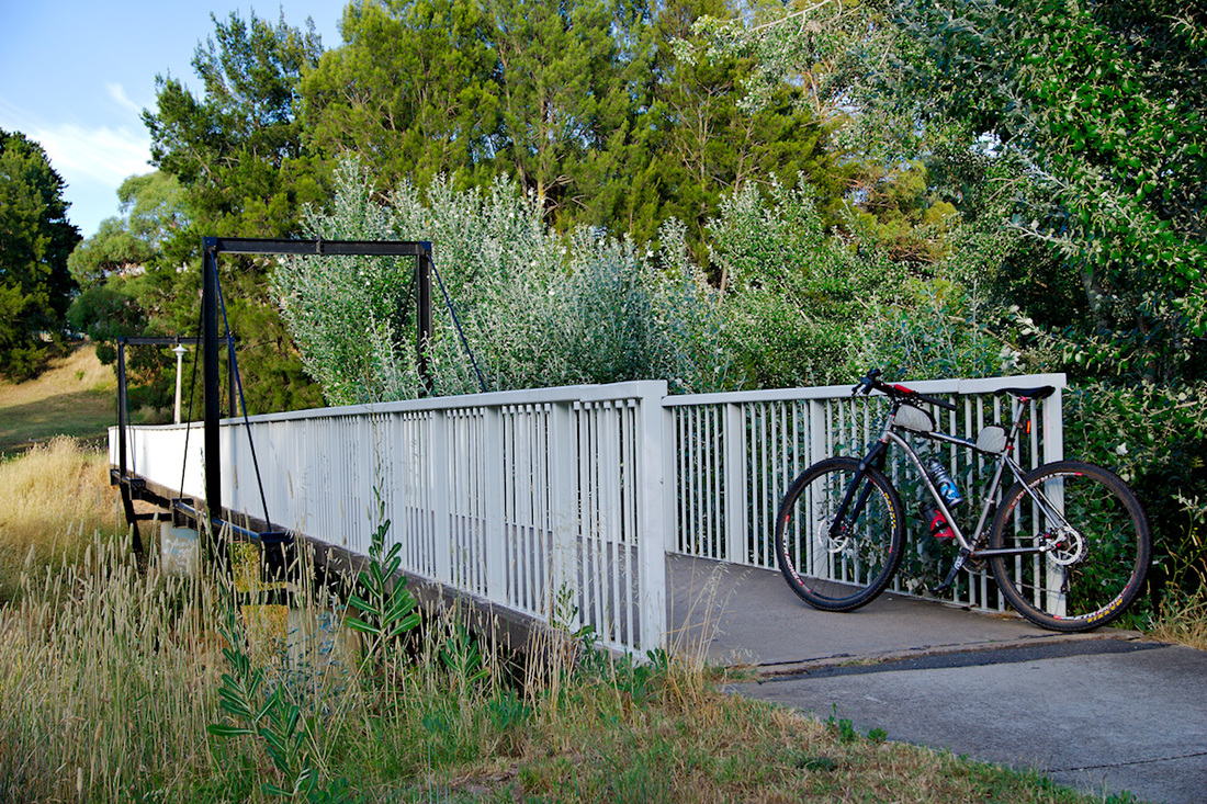
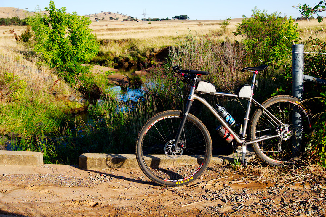
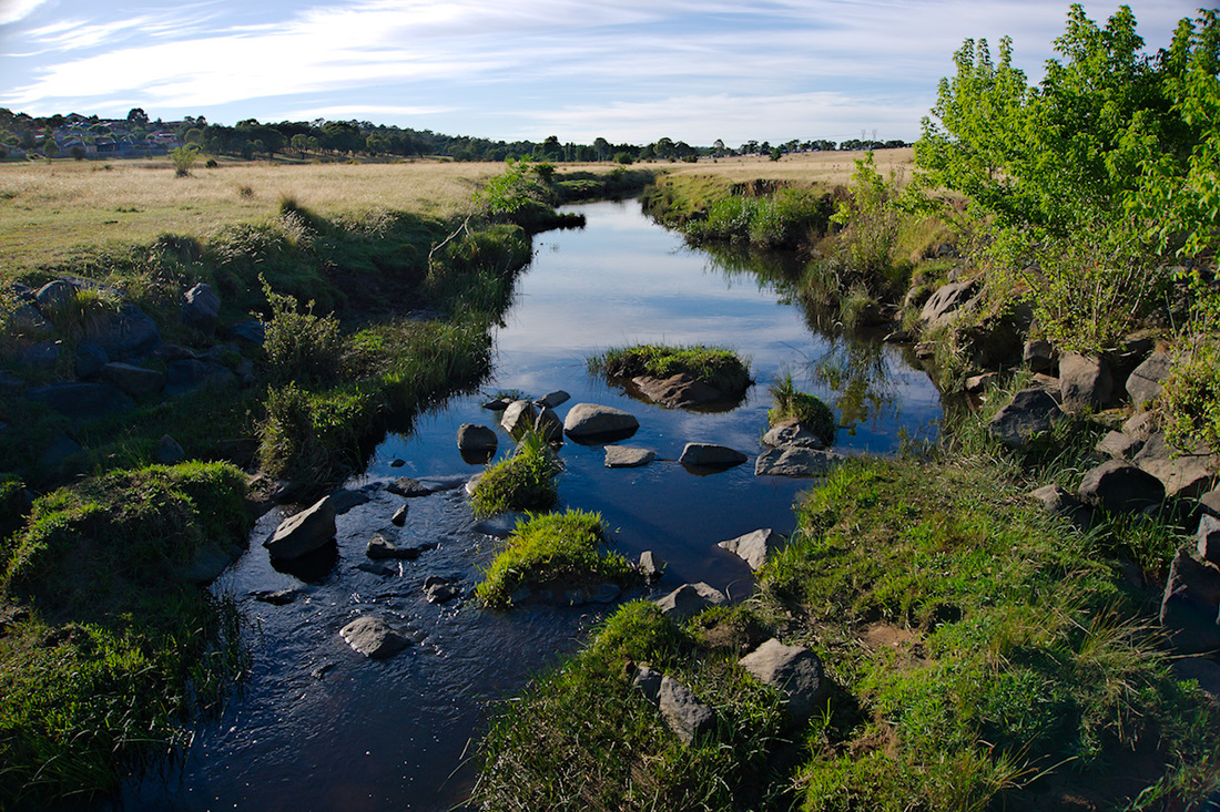
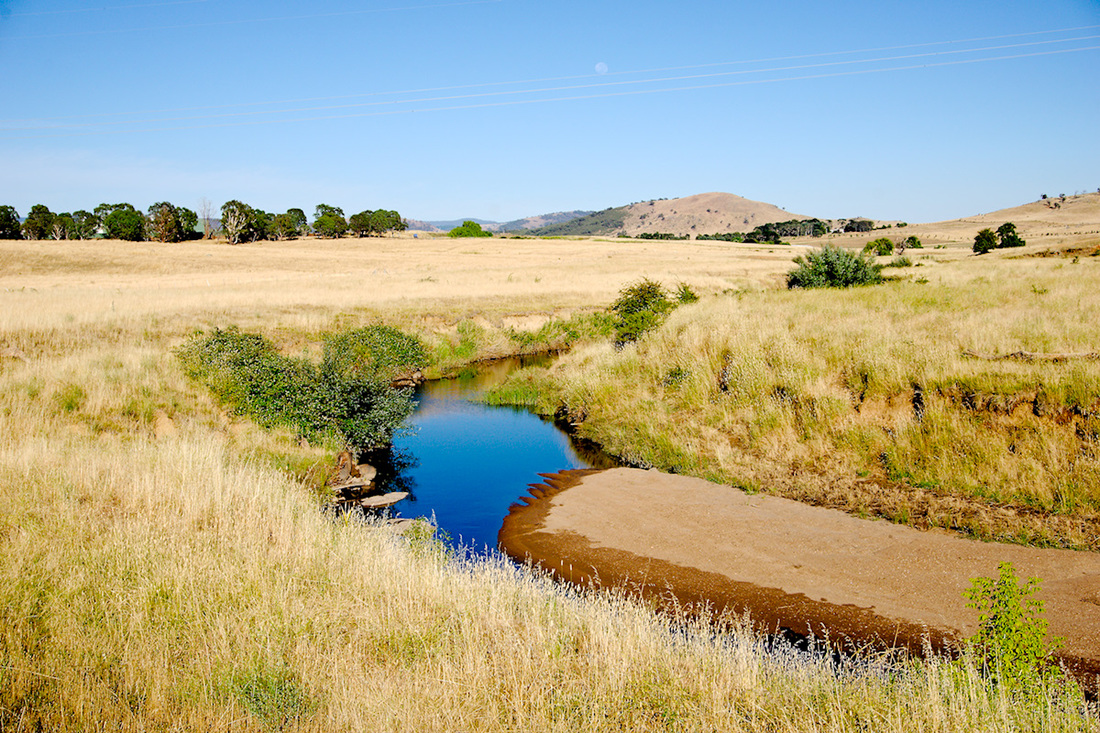
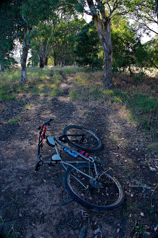
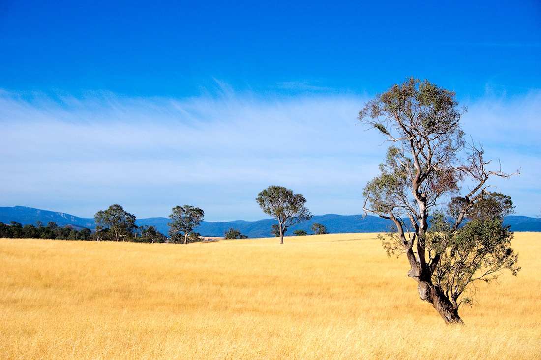
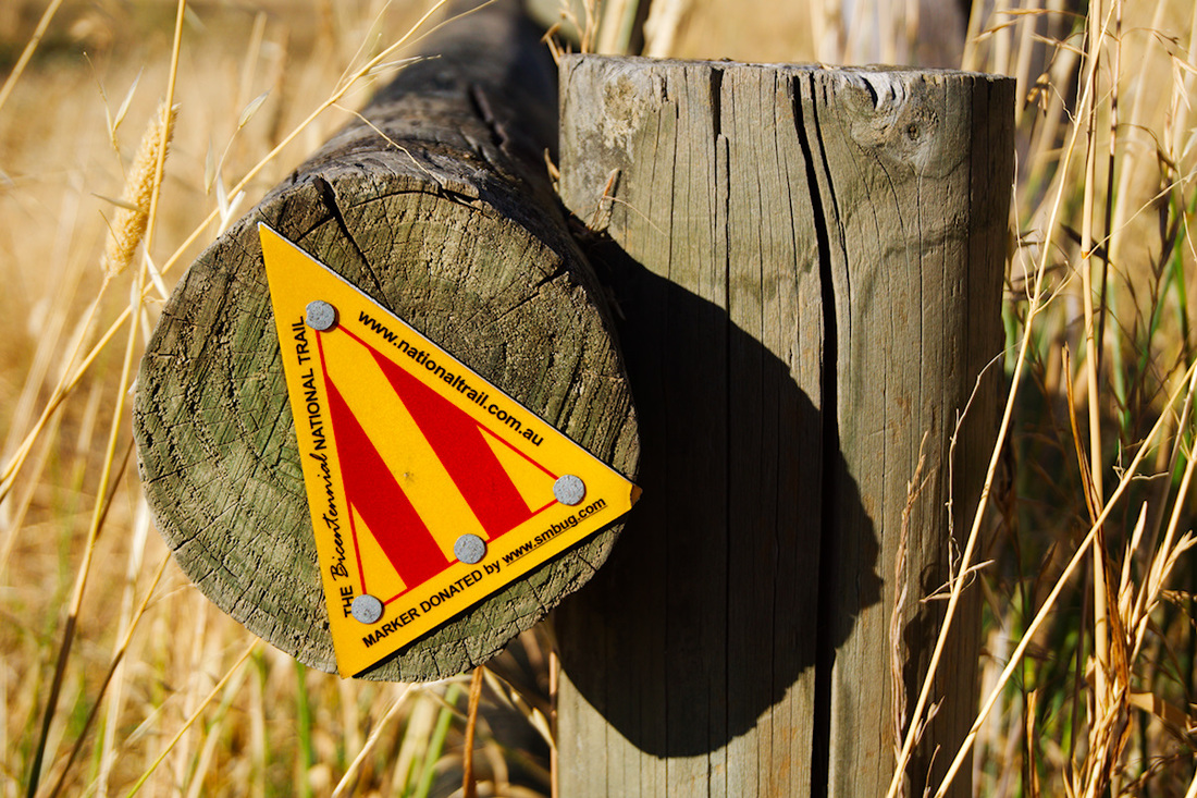
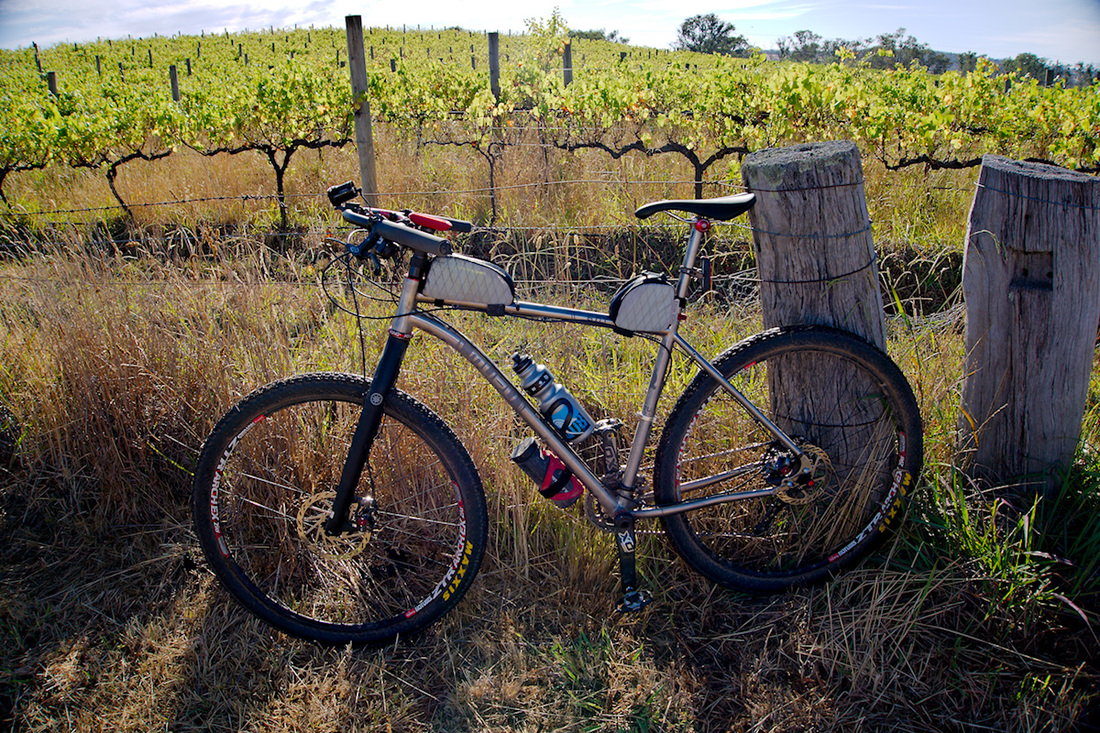
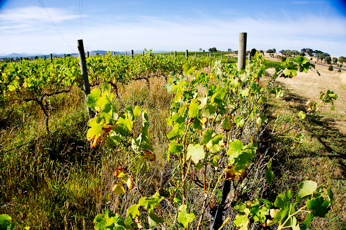
The other day I spoke about only having two gaps to complete the circumnavigation of the suburbs in the ACT. Today, I closed off one of those gaps. I drew a route on Trackprofiler and uploaded it to my GPS, so I could ensure that I did not get lost. I made a couple little alterations whilst riding, but generally the route I made, was the route I followed. Up until Latham, the majority of the ride was road (Blech!) and the same with the route back from Higgins. But the bit in between was something special! When I left the road for bike paths and trails at Latham, I was amazed to find out how nice it is along the Ginninderra Creek. I would have to say one of the better cycling experiences in the ACT. I followed the creek to the Bicentennial National Trail (BNT), where it was dirt horse trails and beautiful vistas. Seriously if you get a chance to explore this bit of the BNT, then I think that you will be impressed. It is where the suburbs meet the country and the views are for miles. I enjoyed this trail that much that I think I will do it again (albeit truncated and slightly modified), as my fair well ride! 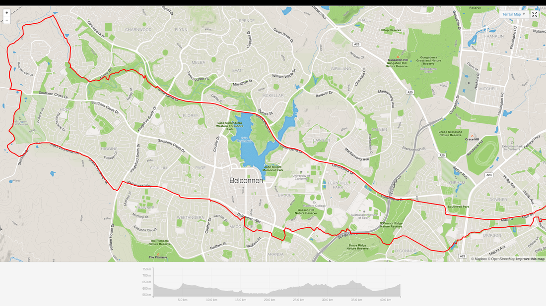 The route that I rode.
0 Comments
One of the things that I had always wondered, was if I had circumnavigated all of the suburbs of the ACT (Not including the Jervis Bay areas pedants!). So today, I did a search for some means of combining all my GPS traced rides since moving to the ACT, onto one map. What you see below is the result. A bit of Googling came up with Jonathan O'Keefe's blog on his "Strava Multiple Ride Mapping Tool". I entered my dates of living in Canberra (31 Dec 201 ~ 27 Dec 2015) and this is a zoomed in version to show the traces overlaid on a map of the suburbs of the ACT. A close look, shows only 2 areas missed in the pursuit of completely circumnavigating the suburbs. They are; Dunlop to Higgins, passing Magregor and Holt and North Weston to Rivett, passing Wright, Coombes and Duffy. I will endeavour to knock these off the list before I leave the ACT. Hopefully in the next couple of weeks. A larger image can be found here. Use the magnifying glass to look closer.  Canberra suburb ride map Below is a map of the greater ACT and surrounding areas that I have ridden, since moving here. Missing from the map is the ride in Budawangs National Park and any that had not been GPS traced. A larger image can be found here. Use the magnifying glass to look closer.  Greater ACT ride map |
AuthorMy name is Mark McIntosh, but everyone calls me Macr. Archives
March 2019
Categories |


 RSS Feed
Proudly powered by Weebly