|
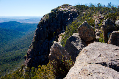
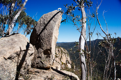
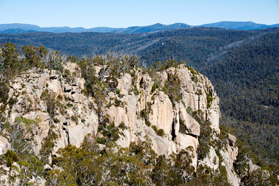
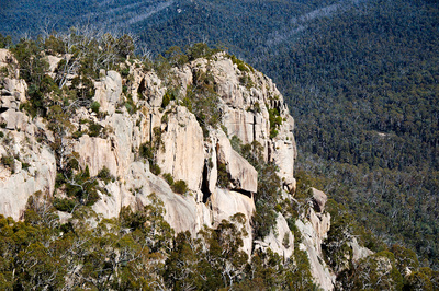
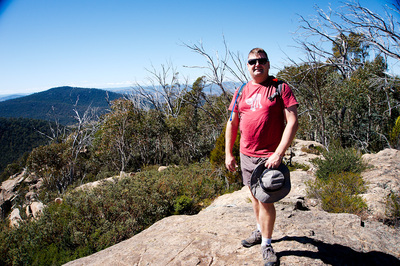
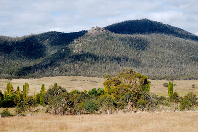
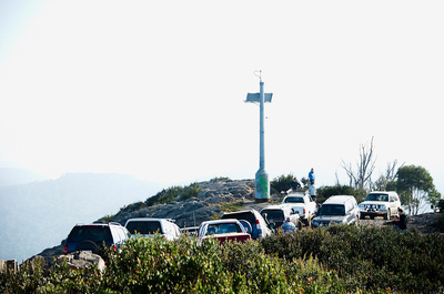
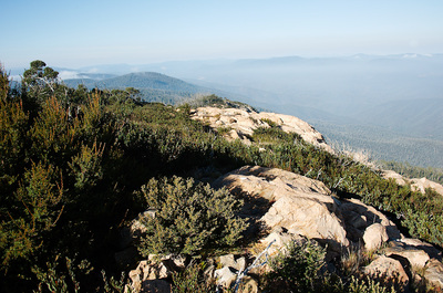
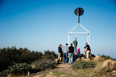
Rebekah and I went for a short walk up to Booroomba Rocks in Namadgi National Park. I have wanted to do this for a while, but has been pushed forward on my bucket list of things I want to do before I leave Canberra.
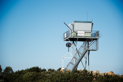
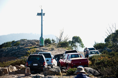
After visiting Booroomba Rocks, we ventured up to the old Honeysuckle Creek Tracking Station site. Namadgi National Park is in the south-west of the Australian Capital Territory, bordering Kosciuszko National Park in New South Wales. It lies approximately 40 kilometres south-West of Canberra, and makes up approximately 46% of the ACT's land area.
1 Comment
Proverb: a bad workman always blames his tools.
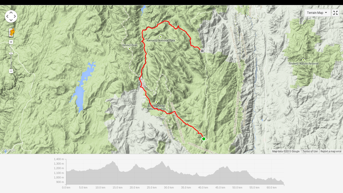
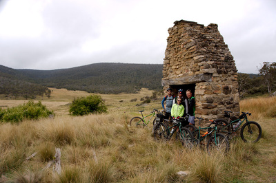
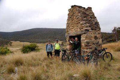
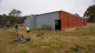
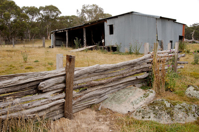
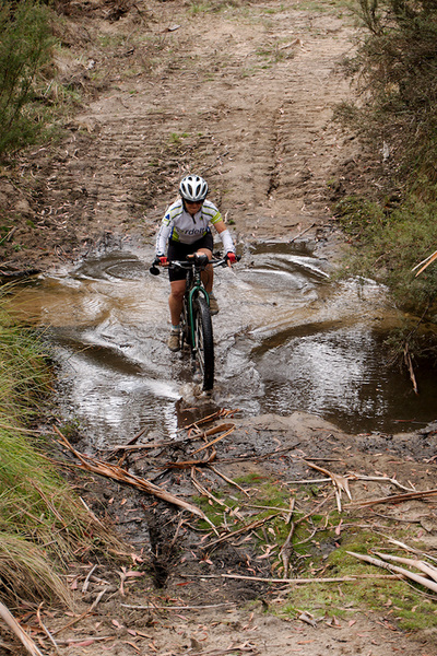
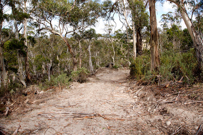
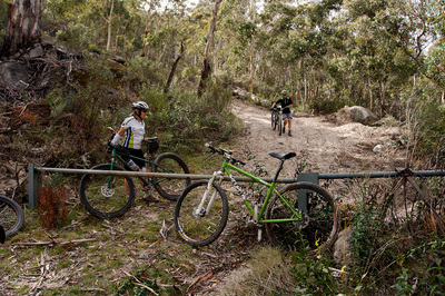
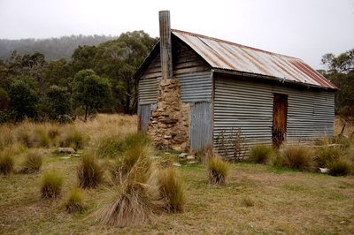
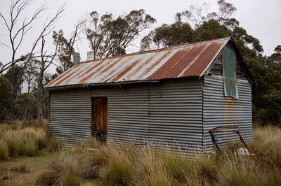
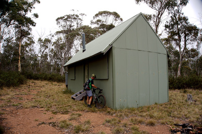
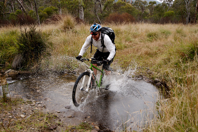
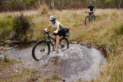
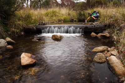
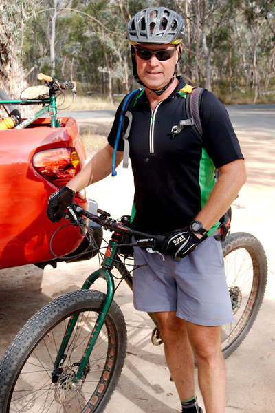
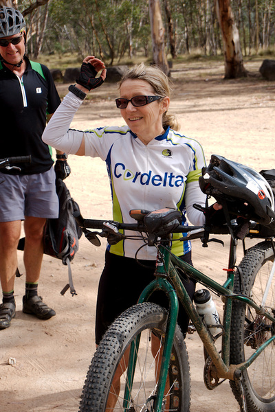
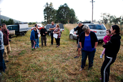
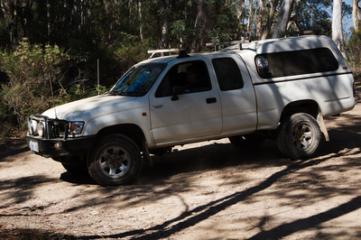
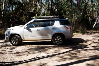
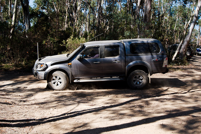
It is not the tools we use which make us good, but rather how we employ them. Ian had another cunning plan. It was to ride from where Old Boboyan Rd meets Boboyan Rd (well thereabouts) to Orroral Valley camp-ground. It sounded like a good plan and I was keen to join in, although I hadn't done much riding in the last three weeks, due to various reasons. For me it became a battle for me against my body. We met up at our usual Namadgi ride meeting place (McDonald's and Lanyon Marketplace) at 0800 and headed South. In one car was Ian and his partner, Marea. Matt was in the next, followed by Damian and myself in the final vehicle. The plan was to drop my car off at Orroral Valley and take the other 2 vehicles with all our gear to the start at the Southern end of Old Boboyan Rd. All this took a little over an hour and on the drive we saw a beautiful and majestic Wedgetail Eagle take off from the side of the road. Man are they big! I reckon it stood about a metre tall. The weather was forecast for temperatures ranging from 9-24 degrees Celsius and cloudy. At the start point we could feel the 9 degrees as we unpacked and set up for the ride. Eventually we were on our way. The start was fairly casual tending to a slight descent. On the way down, we stopped at the ruins of Boboyan homestead to take a look and get a couple of photos. This was for me the theme of the day, to photograph as much as I could of the historic buildings along the trail. Photos done, we moved off and made our way down the valley, passing numerous Kangaroos on our way to the turn off to Sams Creek Trail. At the junction of the trails, we noted that Bulls Creek crossing was a lot shallower from the last time we crossed in September 2014 on the Westermans Waltz ride See earlier blog post). Next stop on Sams Creek Trail was Luton's Crutching Shed. Nothing special and built in the 1960s, but for me it was still interesting. Mind you there wasn't much inside to see. Once again we moved on to the first big climb of the day and this is where I realised I had nothing to give. Mind you we all walked bits of the climb as it got steep in sections, but I felt I had no energy. This became the theme of the day for me. Hit a hill, die in the arse and fall behind. I didn't understand it, surely I didn't lose that much fitness in weeks? It was around this point that we passed into Scabby Range Nature reserve, where the going was going to be up and down until we passed over the range. At points we all walked, but I was seriously considering pulling the pin there and then, but Marea said we can reassess our plan once we get to Kennedys Rd. All good and well, but that meant I had to climb back over the range if I decided to pull out. I managed to make it over the range with the rest of the group stopping to allow me to catch up at the top of hills and I would then descend quicker than most back down the other side of the ridge. I kind of got myself into a pattern that I could try to keep up. Eventually we made it to Rowleys Hut and took a short break. I decided to push on, as now it was either 25Kms back to the car or 30kms forward to the finish (or so I thought). One thing I noticed as we were riding, I was consuming a lot of food, as I was using so much energy just trying to get over the climbs. I was a little worried that I may not have enough food for the journey. We were not even a kilometre from Rowleys hut, where I called a halt, as I had nothing and I was feeling a little light headed. Unceremoniously I sat down and broke out the food and started to gorge myself, hoping that I hadn't food bonked. 1 PB Bread Roll, 1 Twiggy Stick, 1 Weight Watchers chocolate bar (stoopid thing to bring on a ride) and a couple of Jelly Babies shared by Marea. Wash it all down with some energy drink and hope that I keep it all down as we started riding again. On our way again and it was ever upwards on the Yaouk Trail up to the Yaouk Pass. Once again I lagged behind, but the food helped a little. It was on this climb that I had to stop again and Ian volunteered to take my Camelbak to lighten the load. I was thinking that by now everyone was annoyed having to wait for me to climb up every ridge. I was thankful that I received nothing but support. One benefit of reaching Yaouk Pass was that there was a long descent down towards Cotters Hut and I made up for lost time on this descent. I was first one across Drag Crossing and pulled up to take a few photos. From this point it was rolling ground to Cotters Hut, so I went back to setting my own pace and having people pass me on climbs and them waiting for me to pass them again once at the top. We were still a long way from home and heard some voices in the bush and not much further up we came to an intersection with Murray Gap Trail. It was there that two mountain bikers appeared. Serendipitously Marea knew both the riders. Who would have thought in the middle of the bush and a fair distance from anywhere you would meet up with other riders and someone knew them? They exchanged pleasantries and I decided to plug on to Cotters Hut. I made it to the hut before the rest and stopped for a short break and a couple of photos. Now we were a group of seven all together and once again we were faced with another big climb. Because I hadn't continued on before them, I tried to stay on the back and gain what little draft that I could. I did alright for a little while, but as it got steeper, I faded into obscurity, as everyone else rode off. I did note that both Damian and Matt were off the back for a while, but they disappeared eventually and I was by myself. I was sort of expecting that to happen and wasn't worried about being by myself, but I was worried that I was running out of food and water. Coming around a corner I saw now that Ian and Damian were at the back and they waited for me. I called a halt again and refilled my bottle and grabbed some gels and snakes from my pack that Ian was carrying. Forward I trudged as once again Ian and Damian started to ride away. This time they were not out of eye-shot and I saw the group had stopped again to wait for me. I noticed our extra riders had departed. I think it was here or on the next stop on the climb, that I mentally wigged it and asked for someone to ride on ahead and get to my car to come back and pick me up at the Tracking Station, as we still had about 10~15kms to go. It was also at this stage, I looked at my saddle and realised that when I got my saddle back from Justin (whom I had lent it to), that when I fitted it, I had the saddle set to far back. This was a huzzah moment as this explained why I had nothing on climbs and it was wearing me down. I adjusted the saddle and got back on. It was all too late, as it was the final big climb, I had wasted all my energy battling with the bike and body and I was suffering chafing in the groin region. But at least it was a moral victory and I wasn't completely unfit, as I felt it was more comfortable and a little easier to climb. In the mean time Damian and Matt had gone ahead to go get my car. Riding across the last ridge, I had the inclining that all I had to do was get down and I was out at the tracking station, where I would be picked up. Well that was the plan! Here it is the final descent! I soon left Ian and Marea behind and I was a tad worried that I may catch up with Damian and Matt, as I enjoy descending. Fortunately I think that both of them were at least my equal on the descent and I didn't catch them. There was one 'Oh shit!' moment as I went into the corner a little hot and started to drift wide only to see a bloody big yellow gate blocking my way. I somehow managed to pull up just in time! Passing through the gate and rolling a bit further downhill, I spot Matt and Damian stopped on the side of the track. Damian had sustained a puncture in his silly road tyred bike (Yes it was a 29er, but his tyres were so tiny and cute compared to all the other bikes on the ride). I pulled up and chatted for a little bit and said I would press on. Before the final gate nearing the tracking station, Marea passed me on a rise. She had stopped on the other side and signalled for me to approach slowly. Coming up beside her, she pointed out what looked like a Dingo. I do hope it was a Dingo, as it would be the first Dingo that I have seen in the wild near Canberra. We rode together for a little bit until we could see the old tracking station. Marea stopped to wait for the Ian as I trundled on. I was soon hit the black top and I knew it wouldn't be long before the rest passed me. I was impressed that I made it this far. Eventually I spotted the old Orroral homestead and was surprised that no one had passed me yet. If they had of, I was going to turn off and photograph it. It was here that I thought that I may just make it back, as there was only 3~5kms left back to where we left my car at the camp-ground. Trudging up another hill, I realised this was the last hill and it was a descent to the camp-ground. I was going to make it and I still had not seen the others. Rolling down the hill, I crossed the Orroral river and turned into the camp-ground. The first thing that hit me was the irony of beating everyone back to the car, especially as two went ahead to retrieve the car. Of course I had to brag about it, but I was really grateful for the support from the other riders. To top it off, Marea had chocolate cup cakes with instant chocolate topping as a post ride treat. We sat there for a bit and enjoyed some tea with the most well deserved cup cakes. All that was left to do was get the cars. Ian and Marea decided to ride to the Junction of Boboyan and Orroral Valley, as the rest loaded bikes and headed back to the start to pick up the other cars. An added bonus on the trip back after picking up the cars I saw a Lyre Bird cross the road in front of me. It was a great day for spotting native wildlife. All up it was approximately 64kms with 1500 vertical metres of climbing. I really want to pass my gratitude on the rest of the crew for the moral and physical support they gave me. Lessons learnt, was to not to fit a saddle back on to my bike a night before a big ride and to ensure it is correctly installed. GPS trace of the route. John Ellis had a hair brain idea to get a bunch of DRN 4WD folder members together and do a bit of a 4WD trip so n00bs could have a crack at 4WDing, knowing that they had a bunch of experienced people to ensure they got through the drive safely and gain confidence to venture out on other occasions. The plan was to meet up up near Uriarra Village and break up into two groups and do a circuitous loop up to Mt. Coree then down to Flea Creek and back again if you were in Andrew Rudder's group and vice versa if you were in Ryan Marks' group. We were to meet up, back at Coree camp-ground for lunch and make our way home from there. Myself, with Brendon Mulloy in my car were in Andrew Rudder's group. Unfortunately I can only name drivers in the other cars and they were:
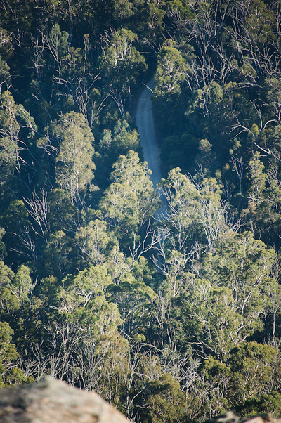
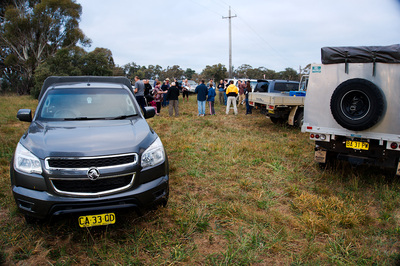
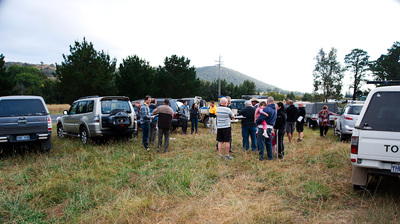
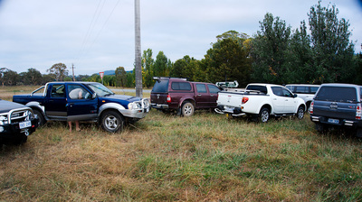
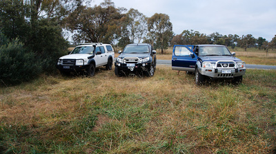
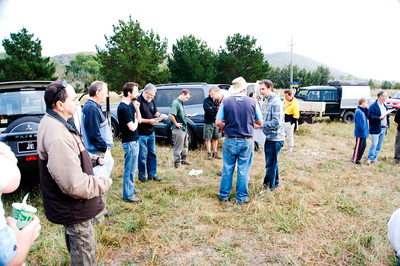
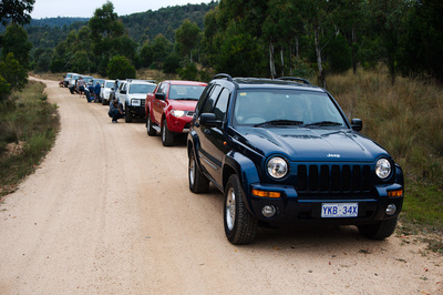
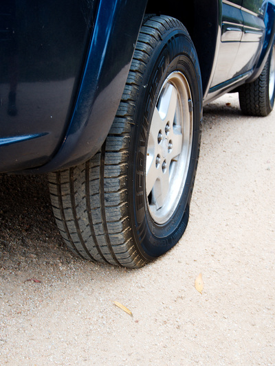
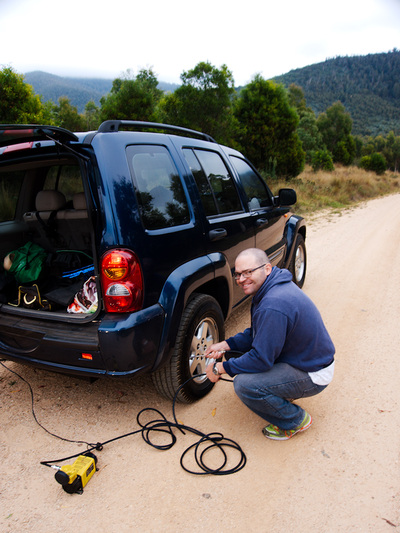
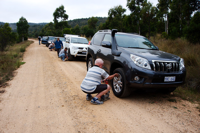
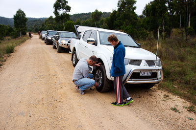
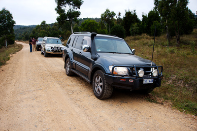
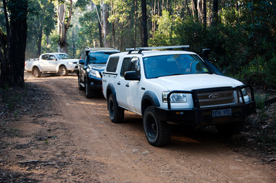
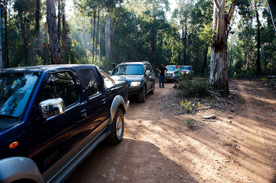
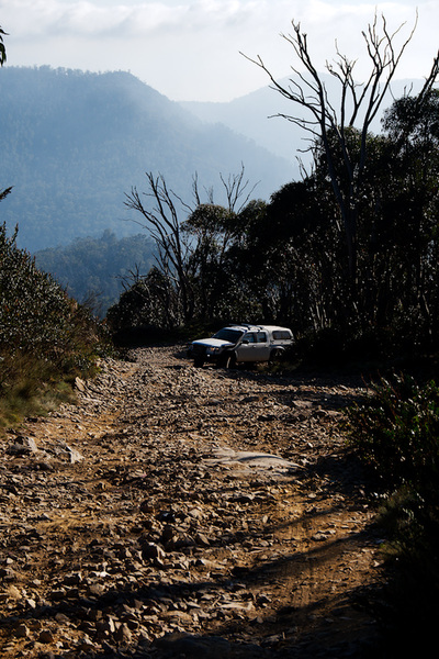
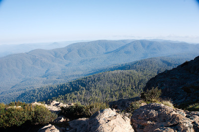
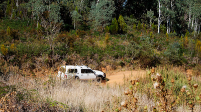
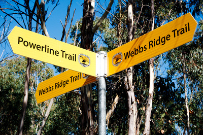
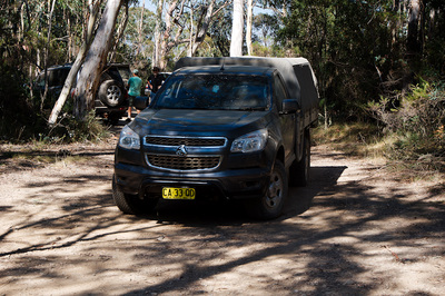
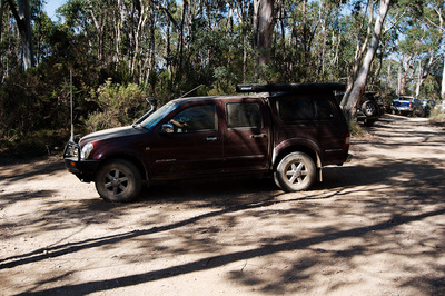
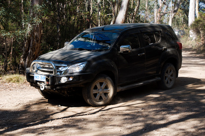
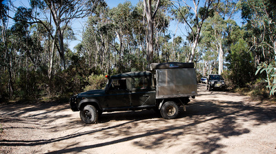
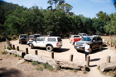
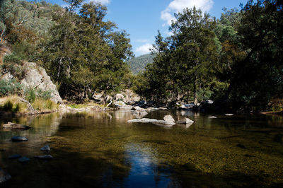
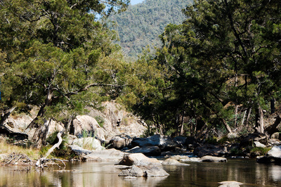
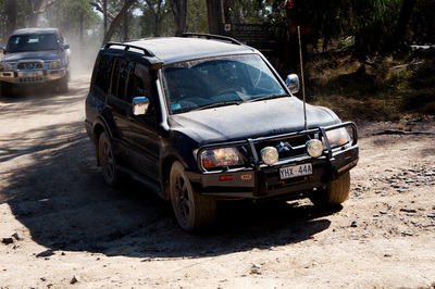
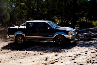
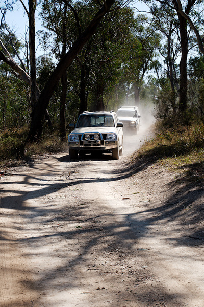
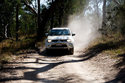
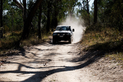
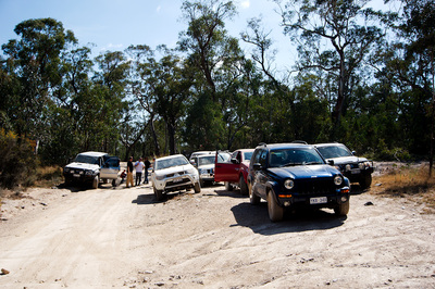
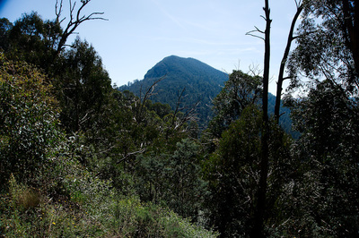
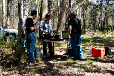
Leaving Brindabella Rd, we turned into Curries Rd and it was here that we aired down our tyres to give us better traction when off-road. You will note in the photos below, Andrew let one of his tyres down a little too far and had to pump it up again. I thought it was funny. Turning onto Pabral Rd, we started getting a little more serious dirt, but nothing really over the top. This was a little warm up before we hit the first difficult bit of trail up to the summit of Mt. Coree. Turning up the summit road, Andrew suggested that people may want to select Low Range as the track was rocky and in the final section quite steep. For me this is nothing new, but it has been a long time since I have done anything like this (N.T. in the late 90s). The final section was by far the hardest and I was second vehicle. Just as I started this short pitch called over the radio for everyone to stop because as he went over the peak there was a 4WD in the middle of the track with a flat tyre. I was committed, so crawled up to behind Andrew where I pulled up, just short of cresting. Everyone else stopped at the switchback just before the climb. It was only a matter of minutes before the vehicle had changed tyres and he and his mate had turned around and park their cars. This then allowed us all to summit, but we had to do it in stages as there is not a lot of room on top and we nearly maxed it out once the last car got up. Parking was interesting, as we had to do a U-Turn and back up so we could easily get off and have enough room for all to park. Andrew once again had a little bit of bad luck and got a big boulder caught under his car. I didn't take much to get it out from under the car, but it didn't sound or look good. Up on top we took a half hour break for refreshments and to enjoy the views and what a view it was! The other group summitted later in the day and would've had a clearer view, but I wasn't complaining. This time the descent was in the reverse order where David changed roles from tail end Charlie, as he was now at the front of the cue, as no one could pass as the summit was that tight. Backtracking back down felt a lot easier that ascending. This time at the base of the summit track we turn left back on to Pabral Rd and headed the short distance to Coree camp-grounds. It was here that Andrew once again took over the reins and let us on again. Right onto Two Sticks Rd and we were starting to descend further down to the Powerline Trail. Turning onto the Powerline trail, things started to get steep again with a fair few turns. At the bottom of this we crossed a small creek. As I type this, I am looking at the map and have realised it was the upper end of Flea Creek, which we would visit again further on. Up we went again to we came to Webbs Ridge Trail. It was at this junction that we met up with Ryan's group coming back the other way. We pulled up and let them past. Soon we are back into it and let me tell you that this trail had some interesting descents. Nothing really technical, but could be a bit intimidating for the first timers. On the first big roll-over, I bellied out just over the ridge in the centre of the trail. You physically couldn't see the trail before you as it dropped away quickly. From that point onwards, I ensured that I was either off centre of the track or crossed it on a slight angle. I never did belly out again. On this pat of the trail we encountered a National Parks 4WD coming the other way. We had a bit of a stand-off as we worked out who was stopping and who was moving. He ended waiting for us as we went by. We also came across three off-road touring motorbike riders on the side of the trail. Eventually we made it down to Flea Creek camp-grounds. This where we met up with Flea Creek again as it filtered into the Goodradigbee River, which flows down to Wee Jasper and Lake Burrinjuck. This place was a great little rest spot, with crystal clear waters and camping facilities. I think I will have to go back there and camp a night. We didn't tarry too long, just enough for some drinks, photos, stretch the legs and enjoy the views. We were mounted up for the final serious bit of 4WDing out of the area and it was up what I would call a facetiously named road. Gentle Annie Trail certainly did not match its description. What surprised me more was the Forester that drove down it. Not saying it wasn't capable, but it would've surely been an exciting ride. Eventually we were back up to the top and back onto Brindabella Rd. We regrouped at the top and some of the group decided to part ways. David and James went down to Brindabella Valley. Unsure who else departed there as well. We followed Brindabella Rd to Piccadilly Circus, where once again we lost a few more people including Andrew, our group leader. I was now in charge of the remnants of the convoy. We headed back down Two Sticks Rd, but the upper part which we hadn't yet driven. Part way down we stopped to view Mt. Coree from a different angle. On we went and we were soon back Pabral Rd, where we once again pulled into the Coree camp-ground, but this time to wait for the other convoy and have lunch. Radioing the other group, they informed me that they were way above us on the summit of Coree. It let the others know and we set up for lunch and had a bit of a cook up with John and Adam feeding the group with the excess of food they had. Thanks guys it was a great treat. The other group made their way down to where we were. As they parked on the side of the road, they set up in another area and had lunch. Eventually it was time to pack up and head home. Michael and I made our way back along Pabral and onto Curries Rd, where we stopped and aired up the tyres again. It was here where we met up with David and James and eventually a couple of others. At Uriarra Village, Brendon and I parted ways with Michael and his son and we went via Cotter Dam for a look and them home. It was a great day and I would like to thank John for the idea, the group leaders and tail end Charlies for there knowledge and effort. Finally it was great to meet a number of members from the 4WD folder. I know that everyone had a great time and look forward to hearing what the other convoy's trip was like. DSLR photos. Sony α5100 Photos
|
AuthorMy name is Mark McIntosh, but everyone calls me Macr. Archives
March 2019
Categories |


 RSS Feed