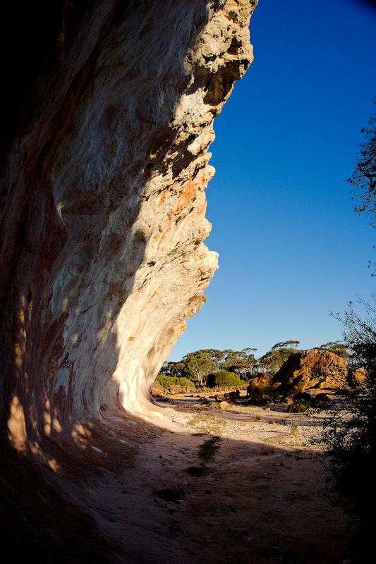
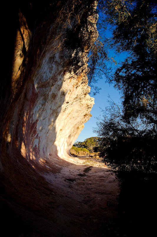
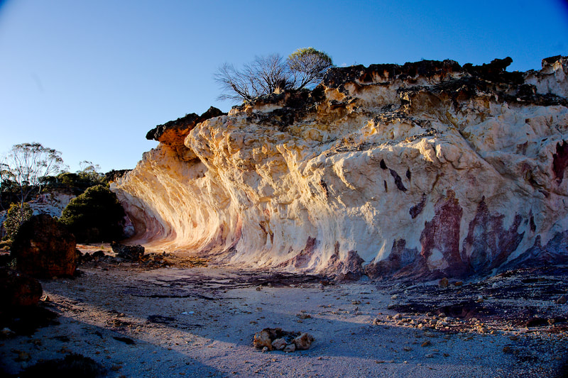
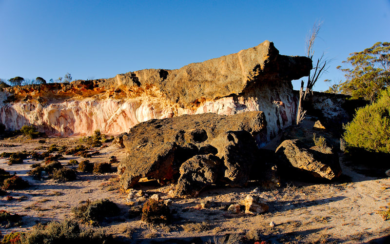
Today, I took on the country roads pretending I was riding a big adventure bike. Why? Well, I tackled a bunch of back roads and even crossed a few concrete-based causeways. 😛
It was great to get out and cruise around for the morning. At one point, I tried to herd a stranded sheep back to where it belonged, but it had other ideas and bolted in the opposite direction! I also spotted a couple of freight trains (a rare sight in the ACT) and covered plenty of dirt roads. All in all, a solid day of "adventure riding"! Ride Map
0 Comments
Today, Rick Kidston, Eran Av, and I tackled the Brindabellas. I had my first fall—thanks to a rookie move on a steep section. A large rock knocked me off course, so I hit the brakes but kept the clutch in, so when I released the brake it caused me to start rolling backward. Realising my mistake, I released the clutch, stalled the bike, and toppled sideways. Meanwhile, further down, Rick and Eran had their own minor "lie downs."
The descent towards McIntyres Hut was incredibly steep—probably the toughest I’ve ever done. I reached the turn-off to Lowells Flat and McIntyres Hut, but the others were nowhere in sight. Eventually, Eran showed up, explaining that Rick was worried about his recently healed hand (broken just six weeks ago) and decided not to attempt the final descent. Eran and I started down the last stretch, but Eran decided against continuing, so we both turned back. We were only about 600m from the hut, but we’ll save that for next time when everyone’s fully healed and up for the challenge. As a consolation, Eran and I rode down to Lowells Flat, then climbed back up and took Webbs Ridge Trail down to Flea Creek. The trail had recently been graded, making it feel like a hard-packed dirt highway on the descent. After a break at Flea Creek, where we met another group of riders, we finished the ride by climbing Gentle Annie Trail and then descending Curries Road back to the start of the dirt on Brindabella Road. Tally for the Day:
Ride Map Yesterday, some lowlife attempted to steal my motorbike. They went at the bike lock with a piece of concrete, doing some serious damage. Thankfully, a brave bystander caught the incident on video and notified the AFP. Before taking off, though, the thief threw the chunk of concrete at the bystander and bolted.
Now, I’m hoping the AFP can track them down and make an arrest. In the meantime, I’ll need to replace the front rotor and maybe the brake pads, plus invest in a stronger lock. Although my lock technically survived, its integrity is now questionable—and I've seen photos of similar locks breaking easily when the bike is rolled forward with them still on. Today, I set out with four other riders—Rick Kidston, Eran Av, Tarik Lou, and Sanjay (spelling?)—for some exploration around Tallaganda. The ride wasn’t without its challenges, as we encountered several fallen trees along the way, but we found ways to navigate around each one. We also crossed the Farringdon Crossing over the Shoalhaven River, which is said to be one of the longest causeway crossings in NSW. Ride Map The other day, while riding to work, I noticed an odd noise when cornering. I didn’t think much of it and kept going. But as I went over a speed hump, I heard something hit the tire and then the road—it turned out to be my rear light and number plate! They had cracked right at the bend, likely from a lack of support combined with vibrations and wind. Today, I installed an Australian-made tail tidy with proper supports to prevent it from breaking again. Rear Shock Spring UpgradeOne of my recent accomplishments was swapping out the rear shock absorber spring. The original spring felt suited for someone around 75kg, soaking wet! I’d bought new front and rear springs months ago, initially planning to have a professional do the work—including a full rebuild with revalving. But, until I have the time and budget for that, I figured I’d tackle the spring replacement myself.
I still need to install the fork springs, but I’ll save that for another weekend when I have more time. After the rear spring swap, I took the bike for a quick spin around the block and over a few speed humps—it already feels noticeably better! Today was perfect riding weather, so Rick and I took a trip up into the Brindabella Ranges. We started out from the Ampol station in Weston and headed toward Two Sticks Road. The track began with a gentle climb past a few isolated houses at the base of the Brindabellas, then grew steeper as we entered Brindabella National Park. Following Two Sticks Road, we reached the turnoff to the Powerline Trail, where I did a quick loop to show Rick the trail as it dipped into the valley and back out again. We saved the full exploration of Powerline Trail for another day and returned to our main route. Not long after, we took the turnoff to start our climb up Mt. Coree. After a quick rest at the campsite at the base, we were on our way. The climb had some serious water diversion bars, a few switchbacks, and loose rock surfaces as we neared the summit. The final stretch was rocky, but the 360-degree views from the top made it all worth it. Descending Mt. Coree felt easier than the climb, and we soon rejoined Two Sticks Road, heading south toward Bulls Head Picnic Hut. Crossing onto Mount Franklin Road, we noticed roadside poles marking the edges—a guide for winter tourists navigating snowy conditions. After a short break, we continued along Mount Franklin Road, bypassing the turnoff to Bendora Hut and Arboretum (a future exploration). Our ride then took us past Mt. Aggie and the Mt. Franklin Visitor Centre, which brought back memories of my snowy 2014 visit on a fat bike! The views along the ridge between mountains were fantastic as we rode toward Mt. Ginini. We reached a locked gate about 5-6 kilometres before Mt. Ginini's summit, at the car park. Originally, we planned to walk the trail connecting to Ginini Summit Road, but luck was on our side—the summit gate was unlocked! After a quick photo by the Bimberi Wilderness Zone sign, we rode up to Mt. Ginini. This was my first time reaching the summit by bike, and the views were well worth it. We found an Air Services Australia navigation facility there, fenced off for aircraft guidance and control. Just past the facility, we took in the spectacular view towards the Tantangara Reservoir, about 30 kilometres south. After soaking in the sights, we started our journey back along Mount Franklin Road. We stopped at a scenic spot overlooking the Bimberi Nature Reserve—it was a stunning view. Back at Bulls Head Picnic Area, we turned onto Bendora Road, following it down to Warks Road, then exited the Brindabellas via Blundells Creek Road and Brindabella Road. Out of the mountains, we made a quick detour through Uriarra Village, then turned right to explore Cotter Dam and Sugarloaf Hill, hoping to access Vanitys Crossing. Unfortunately, the gate was locked. Shortly afterward, I hit reserve fuel but had a 5-litre fuel bladder strapped to the bike, so we paused while I refueled. Finally, we took the road back to Weston, where we ended the ride with lunch at Oporto, chatting about the fantastic day we’d had. Ride Map Today, I decided it was time for another regional exploration on my motorbike, this time with a northern loop in mind. As usual, my goal was to cover as much dirt as possible. The route would take me through Gunning, Collector, and Bungendore before heading back home.
I started by riding along Tallagandra Lane, Boutchers Lane, Elms Road, Hillgrove Road, and Veterans Road, which took me into Gunning for a quick break and fuel stop. From Gunning, I continued on Collector Road to the small town of Collector. I paused here briefly to capture a photo of the historic Bushranger Hotel (established in 1860) and the memorial to Constable Samuel Nelson, who was tragically shot by the outlaw John Dunn on January 26, 1865. After leaving Collector, I crossed the Federal Highway and continued along Collector Road, eventually turning off onto Lucky Pass Road toward Currawang. Here, I stopped to check out St. Matthias’ Church, an old gem that first opened on April 14, 1875. From there, I took the blacktop to Taylors Creek Road, where I was back on dirt again. A turn onto Western Leg Road led me to a gate marking private property, where I took the opportunity to snap a few photos of the wind turbines in the Grosses Hill area before returning to Taylors Creek Road. Back on track, I soon came across a Military Settlers Memorial, commemorating the returned servicemen and their families who settled in the Currandooley and Willeroo area after World War II. With Bungendore in sight, I took Tarago Road into town and made a quick stop. Heading back west towards home, I took a scenic detour through Wamboin before joining Sutton Road for the final leg back. It was another great day exploring the region, filled with history, scenic views, and plenty of dirt roads. Ride Map The InvitationStands up at 10am. Standard route via Camera Corner to Mt Coree and back out via Two Sticks. The purpose of the ride is a social event. To meet new people and to create and continue friendship. New riders more than welcome. Corner person system will be used and there will be plenty of support if you don’t go as fast as everyone else. Big bikes, chook chasers, single track demons, sidecars, even Harley’s with knobbies, everyone is welcome. If you don’t like stopping all the time, the event probably isn’t suitable for you. This won’t be a race, there will be plenty of opportunities to stop and talk shit, and take photos. Safety first, no insurance so ride at own risk, obey the road rules, ride safely around others and we’ll have a fun and drama free ride together. The RideToday I joined a fantastic group ride with an amazing bunch of like-minded riders, including Bernie Te, Steve Burge, Travis Bosch, and Tarik Lou. We set off from the Ampol in Weston and began the climb up Blue Range Rd. Along the way, we paused at a spot known as "Camera Corner" to snap a group photo before pressing on to Two Sticks Rd. From there, we rode along the ridge until we reached the turn-off for Mt. Coree. The group tackled the ascent to Mt. Coree, where we were rewarded with some breathtaking views from the summit. After soaking it all in, we descended, and as the ride continued, the group split into smaller teams, each heading off in different directions. Travis, Tarik, and I teamed up, making our way to Flea Creek via the Powerline trail and Webb Ridge trail. At Flea Creek’s Day Use Area, we had a quick look around before setting out on the Gentle Annie trail to Brindabella Rd. From there, we climbed Brindabella Rd, and at Piccadilly Circus, I took the lead, guiding Tarik and Travis back to the Uriarra Crossing. We returned via Bulls Head, Bendora Rd, Warks Rd, and Blundell's Creek trail. Along the way, Travis showed off his skills by clearing a fallen tree on Warks Rd. It was a brilliant day, full of adventure, camaraderie, and excellent riding. A small hiccup surfaced the next day when I discovered that my tool tube had somehow broken off during the ride. Thankfully, a call out to the group turned up some good news—someone had spotted it and picked it up. I was relieved to have my tools back, though a bit disappointed that the tool tube didn’t even last one ride. Ride Map The Photos and VideosToday’s ride took me on a different route parallel to the Monaro Highway down to Cooma. Normally, I’d follow Burra Rd all the way, refuel at Michelago, then backtrack to Tinderry Rd to cross the range and head towards Jerangle Rd. But this time, I decided to try something new, taking a detour down Williamsdale Rd to join the Monaro Highway, and then continuing to Michelago. I hadn’t ridden along Williamsdale Rd before, so it was a good chance to explore. From Michelago, I took Tinderry Rd, which climbs over the range and then descends down the other side to Jerangle. One of the highlights is the crossing at Boolbooma, where the Queanbeyan River winds through. Near the top of the pass, the views westward are simply stunning, and the descent through bushland and farmland on the far side is just as scenic. After crossing the Queanbeyan River, I turned towards Jerangle and then Numeralla, making quick stops at both before pressing on to Cooma for more fuel and a quick bite to eat. The return route was shorter, running along the western side of the Monaro through Shannons Flat, into Namadgi National Park, and back to Canberra via Tharwa. It was an excellent ride with a bit of wildlife spotting along the way: three wedgetail eagles, four kangaroos (one close call!), a yellow-bellied black snake, and a few blue-tongue lizards, though sadly a few were casualties of the road. Ride Map |
AuthorMy name is Mark McIntosh, but everyone calls me Macr. Archives
November 2024
Categories |