|
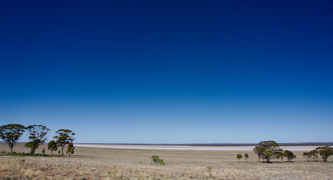
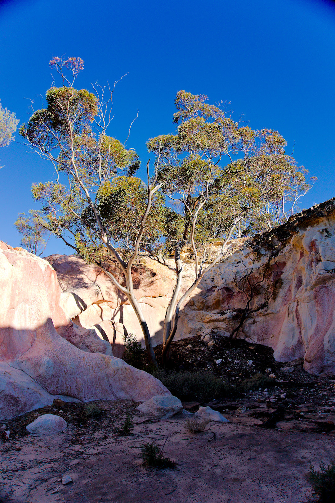
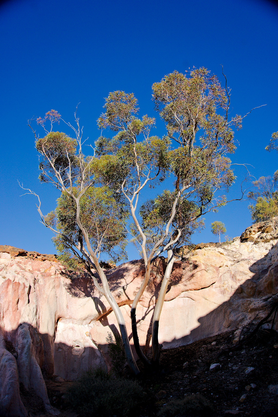
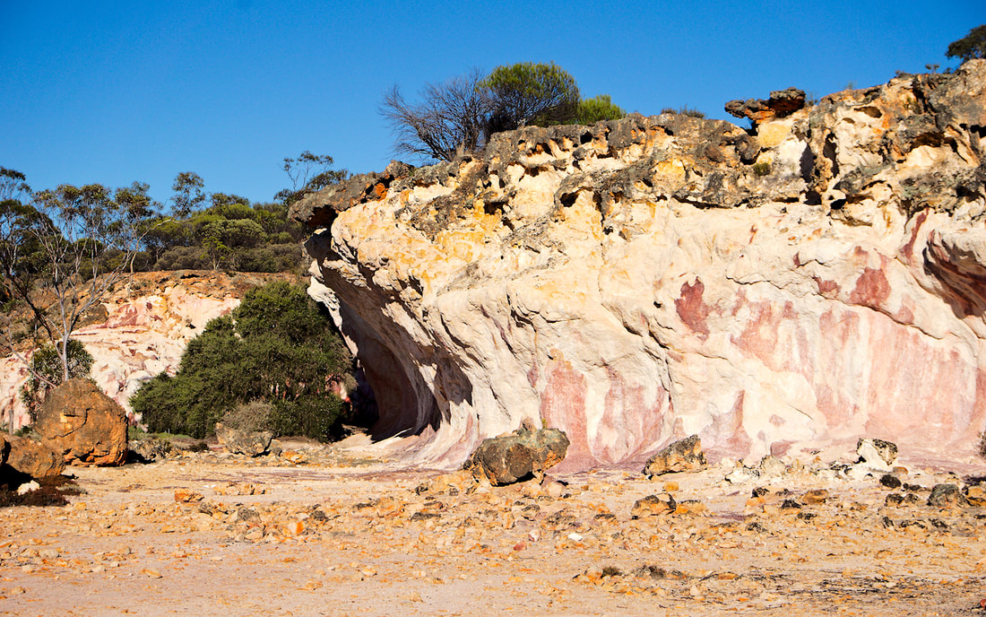
Day 2 - The Breakaways to Caiguna (536Kms) In the morning we did a bit of exploring, had breakfast and headed to Norseman. On the way through, we passed Lake Johnson, which is a massive salt lake. It was then on to Norseman, where we stopped for a break and to pick up some supplies. It was there that we decided that we were a bit ahead of schedule. So much so, that we were going to be at our next camp spot before lunch. We revised our plan twice, as our next spot was meant to be Balladonia and we were there just after lunch. We decided to press on to Caiguna Roadhouse.
It was from this point, that we started to notice the wind. Caiguna Roadhouse has a couple of Eagles that were injured in accidents and were unable to be released to the wild again. Besides that the only other highlight was the shower heads, which gave you decent coverage. And there was the wind. All night! Part 3.
0 Comments
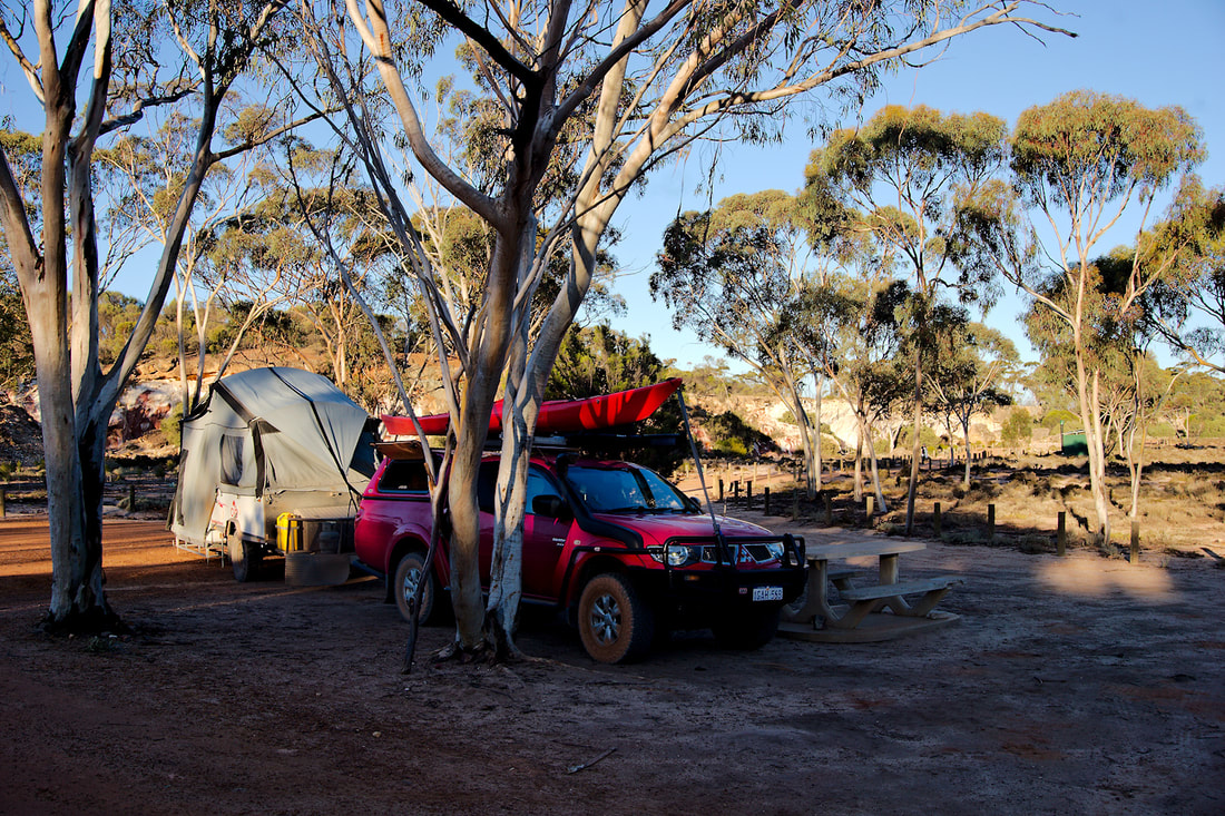
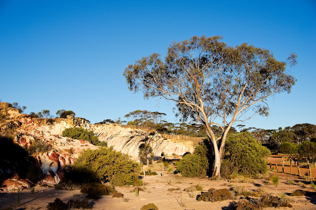
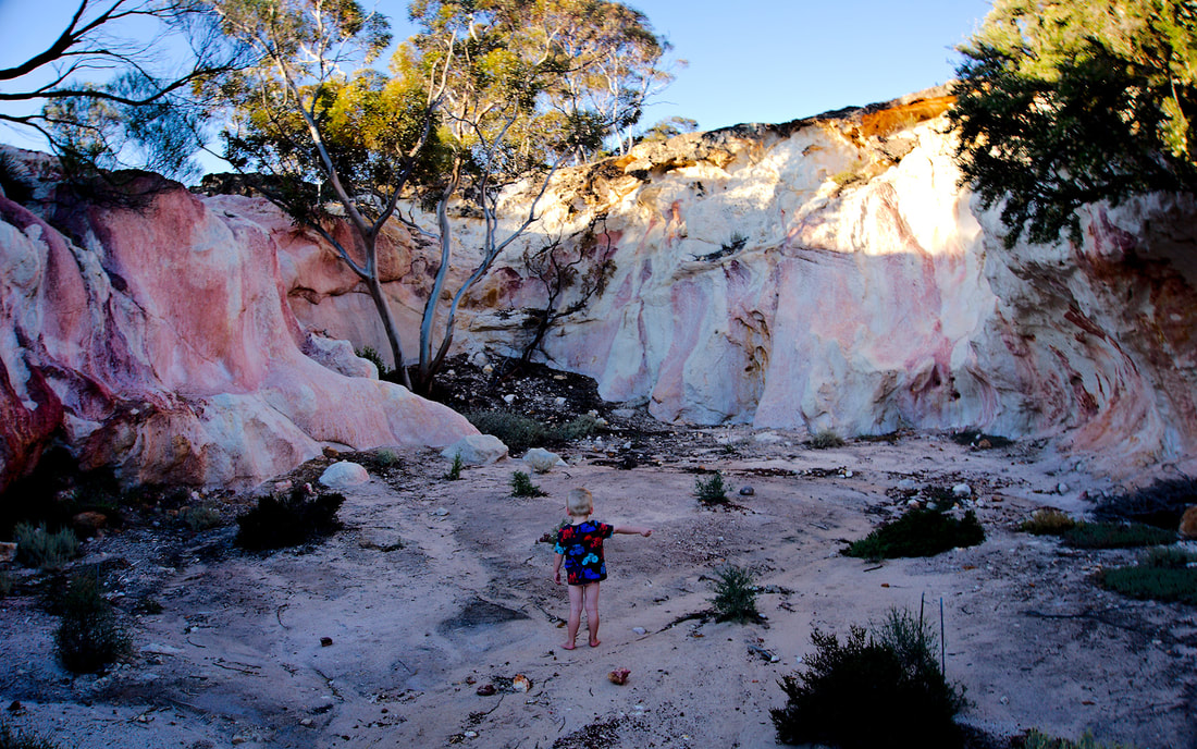
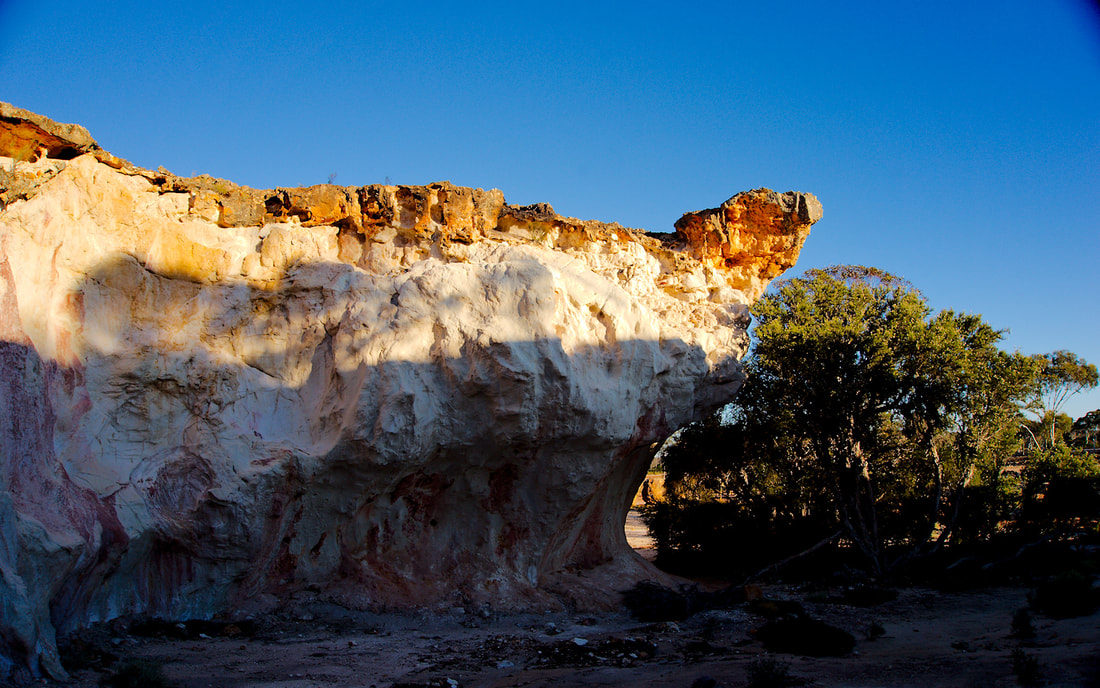
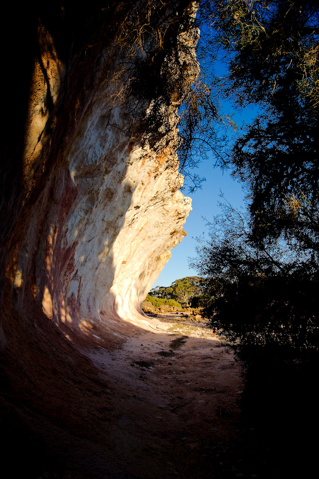
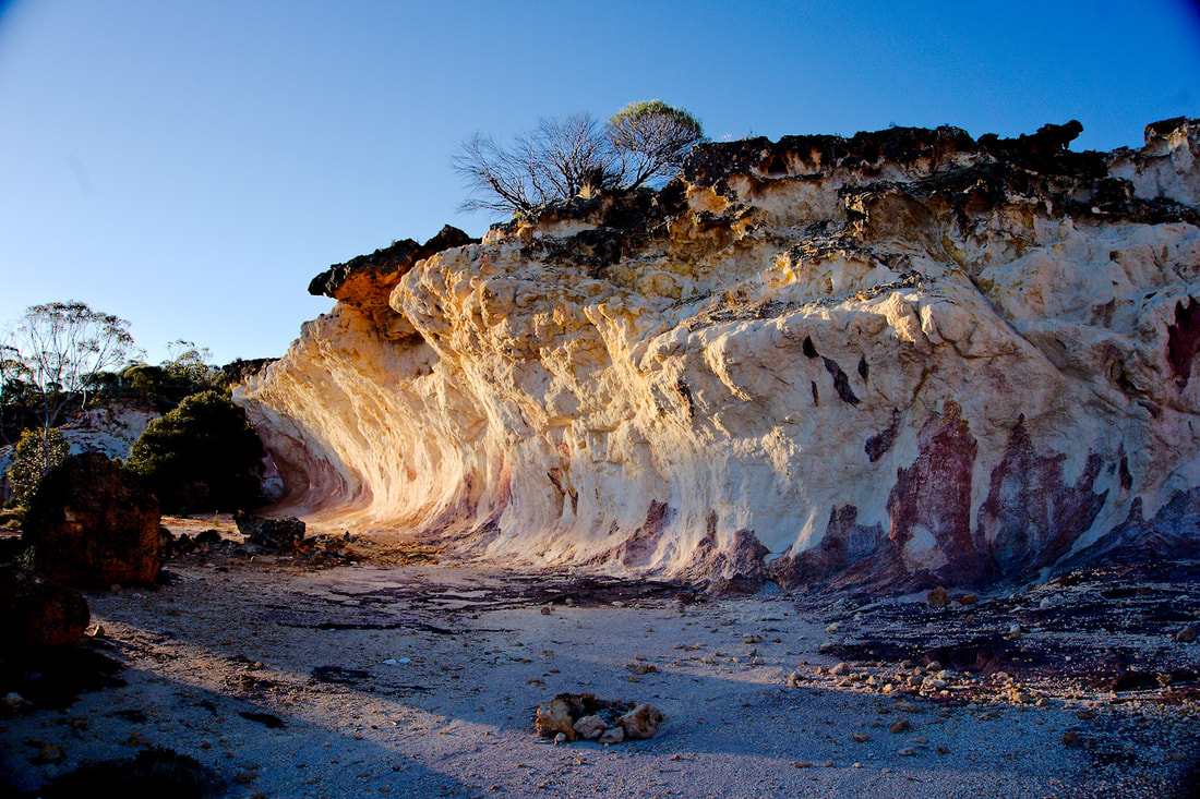
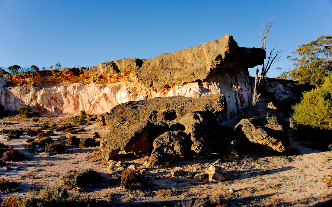
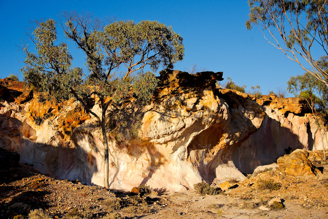
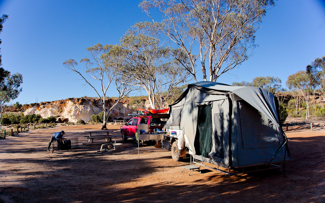
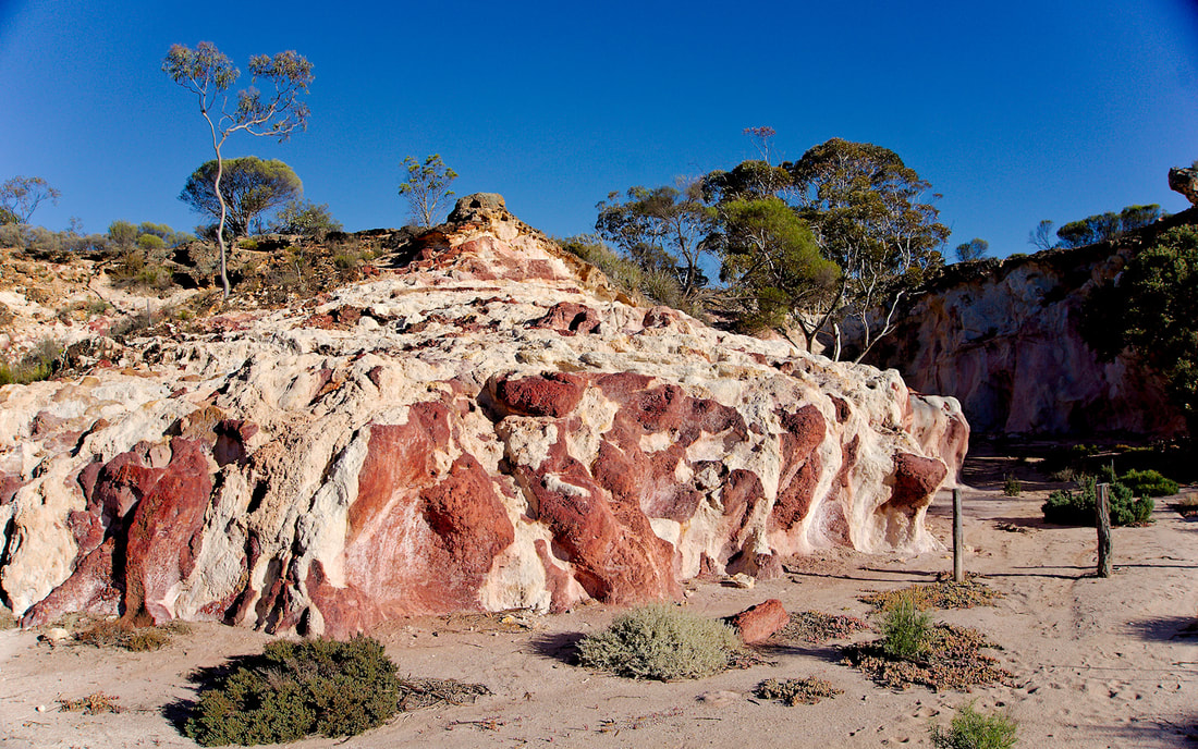
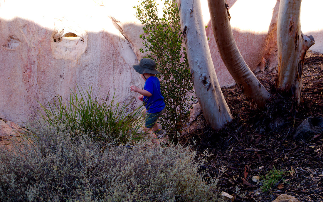
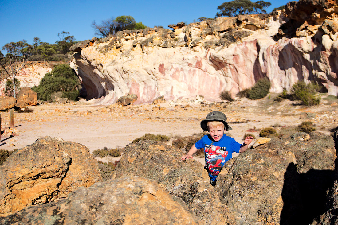
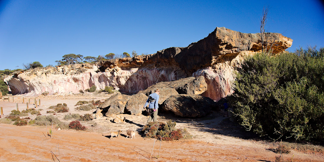
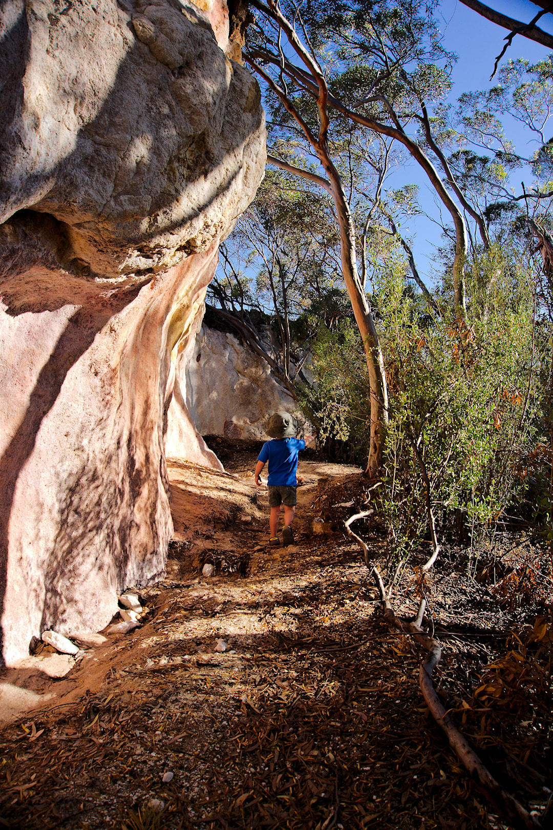
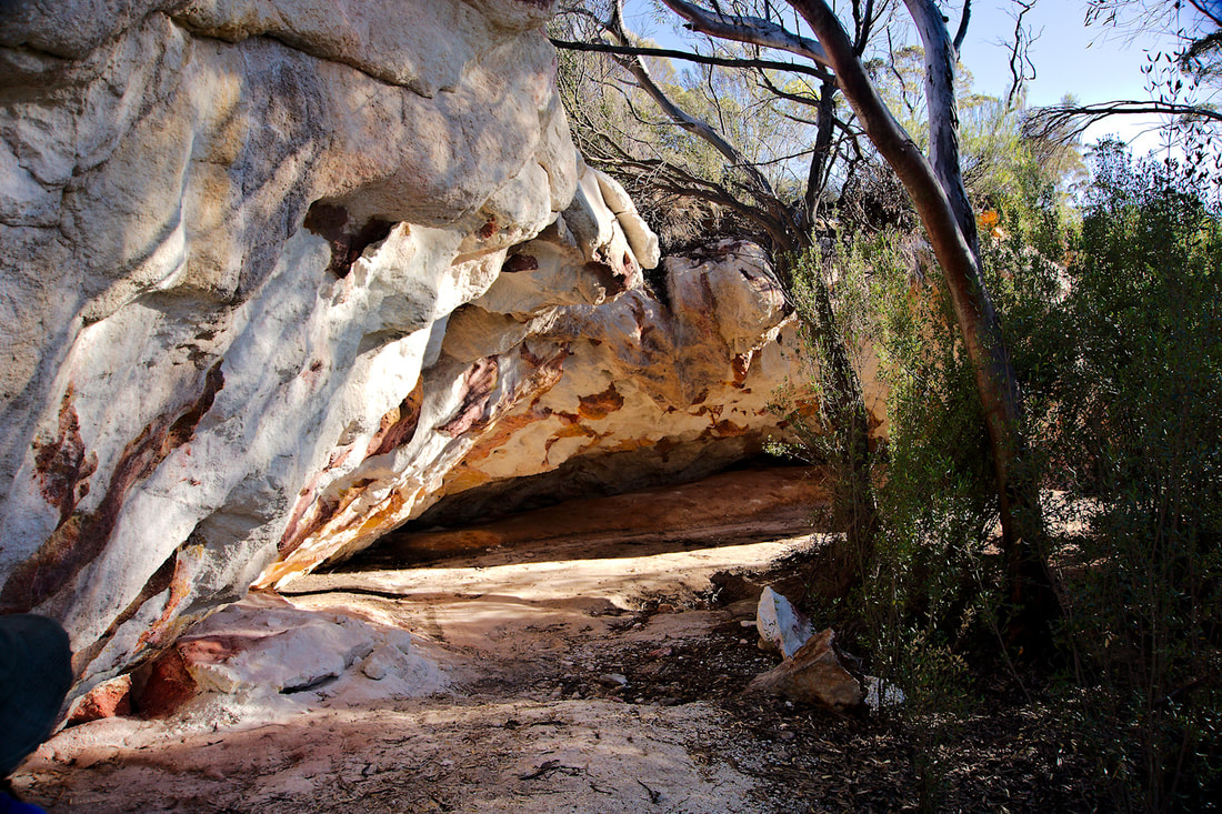
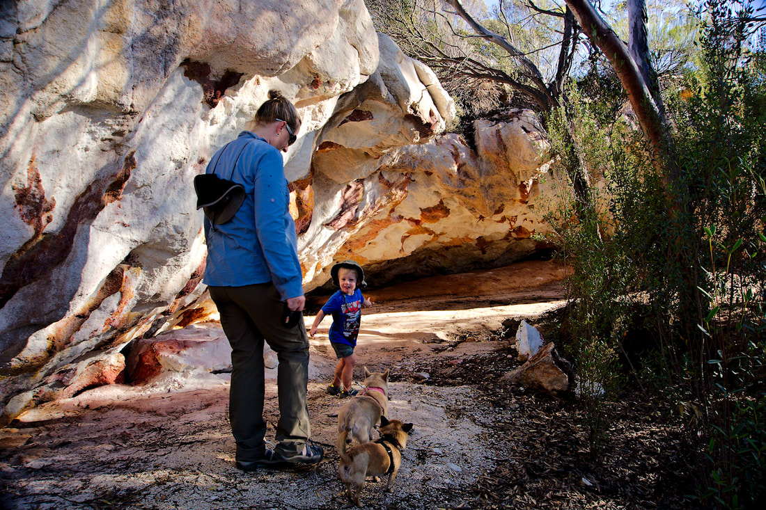
Last year, our family made the move from Western Australia to South Australia. This trip was a good excuse to fill in some blanks and see more of the country. The plan was as follows: 13 Dec 2018 - Rockingham to The Breakaways (482Kms) 14 Dec - The Breakaways to Caiguna Roadhouse (536Kms) 15 Dec - Caiguna Roadhouse to Border Village Caravan Park (329Kms) 16 Dec - Border Village Caravan Park to Head of the Bight Lookout (209Kms) 16 Dec - Head of the Bight Lookout to Fowlers Bay Eco Caravan Park (172Kms) 18 Dec - Fowlers Bay to Ceduna Shelly Beach Caravan Park (144Kms) 21 Dec - Ceduna to Smoky Bay Caravan Park (45Kms) 24 Dec - Smoky Bay to Streaky Bay Foreshore Caravan Park (73Kms) 28 Dec - Streaky Bay to Venus Bay Caravan Park (77Kms) 29 Dec - Venus Bay to Sheringa Beach Campsite (110Kms) 30 Dec - Sheringa Beach to Port Lincoln Tourist Park (136Kms) 4 Jan 2019 - Port Lincoln to Arno Bay Caravan Park (120Kms) 6 Jan - Arno Bay to Melrose Caravan Park (292Kms) 8 Jan - Melrose to North Largs (284Kms) 18 Jan - North Largs to Mawson Lakes and our new house (20Kms) Rockingham to The Breakaways Day 1 - We started the day with no gas for cooking. I don't know how, but we had none left. We picked up some bottles and we were on our way. Basically our journey took us to Hyden and then on the dirt highway that is the Hyden - Norseman road. The road is better than 99% of sealed roads in SA. We really didn't see anyone on the road to The Breakaways. The Breakaways are hidden in a rise and if there was not a sign, you would never know that they were there. We found ourselves a spot next to a picnic table and set up for the evening. The amazing thing was we were the only campers there and the place is beautiful as you can see from the photos below. If you ever get a chance to visit, I would highly recommend it. Part 2. I thought it was time to diversify a bit from technically a bicycle slant. Although I still own elcyc.com, it was a little too focussed. So now I have explorerist.com, which will now show my exploits through word and photos of my adventures however or wherever I may travel. 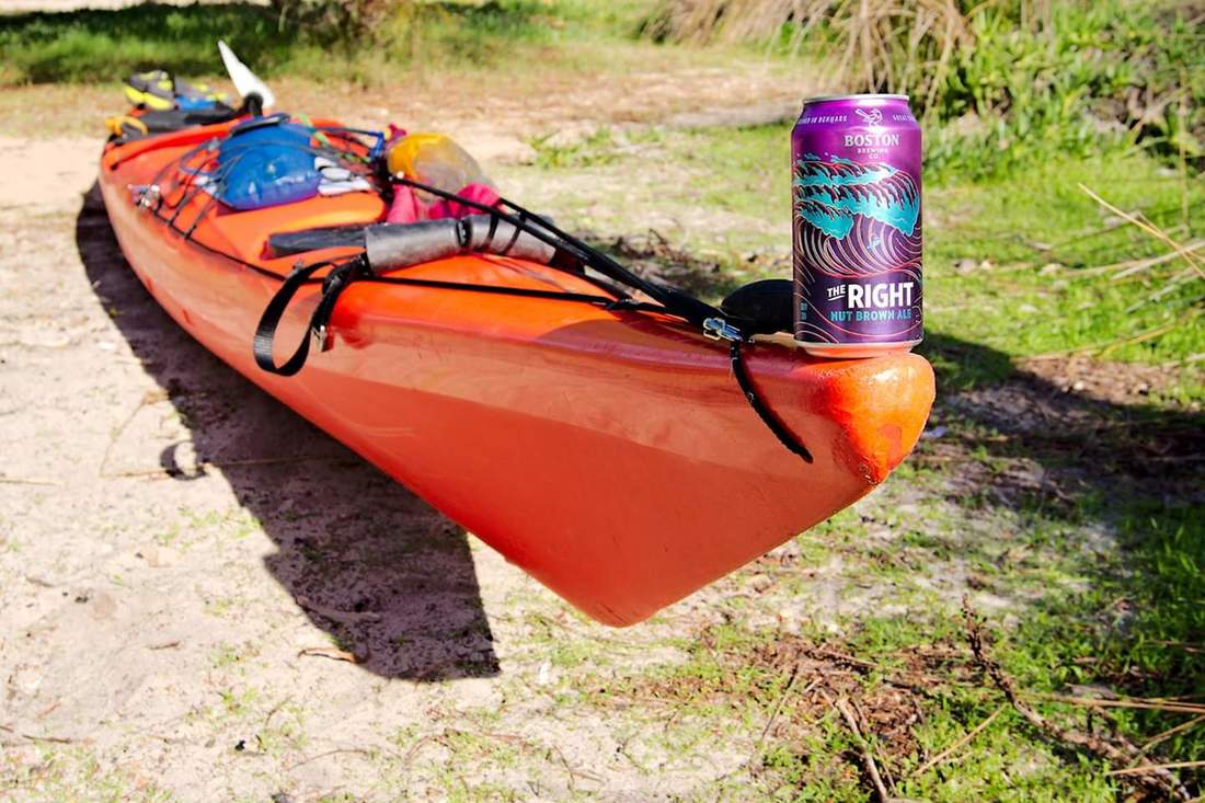 Went for a morning paddle down the swan river from Point Walter. On the way back, I played around the Black Wall Reach Limestone cliffs. I went on a solo kayak trip from Dawesville to Herron point and camped overnight. I then paddled back to Dawesville the next day. I was fortunate enough to have the wind behind me on the way down, but encountered a constant 12kn+ headwinds on the way back. The photos on the way back were taken in wind sheltered areas as it was too wild to photograph in the wind. The scariest moment on this trip for me, was trying to cross back over to Dawesville on the return leg. Cross winds with wind waves up to a metre, was a bit disconcerting for my first time dealing with conditions like that. Point Herron campground has road access and has space for about 20 vans and probably similar amount of tents. Camping fee was $7.50 for my self, overnight. It has flushing toilets, somewhere to wash dishes and that is about it. There is no potable water, so you need to pack in your own water. This adventure was a 33km round trip. Trip down GPS trace. Trip back GPS trace. Finally had the courage to try out the Pacific Action kayak sail. I used it to get out to Seal Island. Once out there, I paddled around the back and scared myself a little in the rolling swell. Then it was across to Penguin Island and then I circumnavigated Third Rock. Finally it was back to the mainland, but not without doing some garbage removal from the water. An exploratory from Challenger Beach, Naval Base. A dolphin came within a couple of metres of me and was checking me out on the way through. I went for a paddle out to Penguin and Seal Island with my sister. She was using my Acadia. |
AuthorMy name is Mark McIntosh, but everyone calls me Macr. Archives
March 2019
Categories |


 RSS Feed
Proudly powered by Weebly